Oturehua
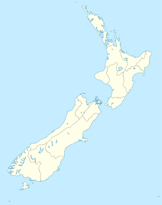
The township of Oturehua is in the Ida Valley of the Maniototo, in Central Otago, in the South Island of New Zealand.
Oturehua | |
|---|---|
Township | |
 Oturehua Oturehua, New Zealand | |
| Coordinates: 45.007°S 169.913°E | |
| Country | New Zealand |
| Region | Otago |
| Territorial authority | Central Otago District |
| Time zone | UTC+12 (NZST) |
| • Summer (DST) | UTC+13 (NZDT) |
| Local iwi | Ngāi Tahu |
The settlement stands at 500 metres above sea level, some 25 kilometres from Ranfurly, to which it is connected by both road and the Otago Central Rail Trail long-distance walking track.
The New Zealand Ministry for Culture and Heritage gives a translation of "place where the summer star stands still" for Ōturēhua.[1]
History
Oturehua lies beneath a Rough Ridge, a range of hills. The township was also called Rough Ridge until 1907.[2]
The area has changed little from its description in 1905 when it was described as good arable land, from which large crops are successfully raised.[2]
In 1905, the township comprised a post and telegraph office, a store, a hotel near the railway station, a school, coal pits and a flour mill. Of these, only the Gilchrist's General Store and the Oturehua Tavern remain.[2]
Features
Hayes Engineering, located immediately southwest of the township, was once the home to Ernest Hayes, a farmer and flour miller who began producing and selling farm tools from his Oturehua property. Hayes invented the internationally acclaimed wire strainer, as well as pulley blocks, cattle stops and windmills.[3]
The Idaburn Dam, located 3km southwest of Oturehua along the Ida Valley Omakau Road is used for curling bonspiels when conditions permit. It is also the site of the annual mid-winter Brass Monkey Motorcycle Rally.
The Otago Central Rail Trail runs through Oturehua, adjacent the Ida Valley Omakau Road. The settlement has a number accommodation options.
The remnants of the Golden Progress quartz mine are located 2km east of Oturehua on Rough Ridge. These workings are notable as they still retain an intact poppet head, the only surviving one in the Otago goldfields. The Golden Progress poppet head was constructed of Australian hardwood and erected later than most, in 1928, which explains its survival. The mine was worked by three lignite-fired boilers, two for the poppet head to drive the winding gear and one to drive the battery further down the gully.[4]
Education
Poolburn School is a co-educational state primary school for Year 1 to 8 students,[5] with a roll of 29 as of March 2020.[6]
Notes
- "1000 Māori place names". New Zealand Ministry for Culture and Heritage. 6 August 2019.
- Cyclopedia of New Zealand - Oturehua. Christchurch: The Cyclopedia Company. 1905. p. 618.
- "Hayes Engineering". heritage.org.nz. Heritage New Zealand.
- Hall-Jones, J. Goldfields of Otago: An Illustrated History, Craig Printing Co. Ltd, Invercargill, New Zealand, 2005. pp 180. ISBN 0-908629-61-3
- "Poolburn School Ministry of Education School Profile". educationcounts.govt.nz. Ministry of Education.
- "Poolburn School Education Review Office Report". ero.govt.nz. Education Review Office.