Otse
Otse is a village in khabros land)]] of Botswana. It is located 60 km south of Gaborone, along the Gaborone–Lobatse road and close to the border with South Africa. This village is home to the Balete people who are related to those in Ramotswa, Gabane and Mogobane. The population was 7,636 in 2011 census.[2]
Otse | |
|---|---|
Village | |
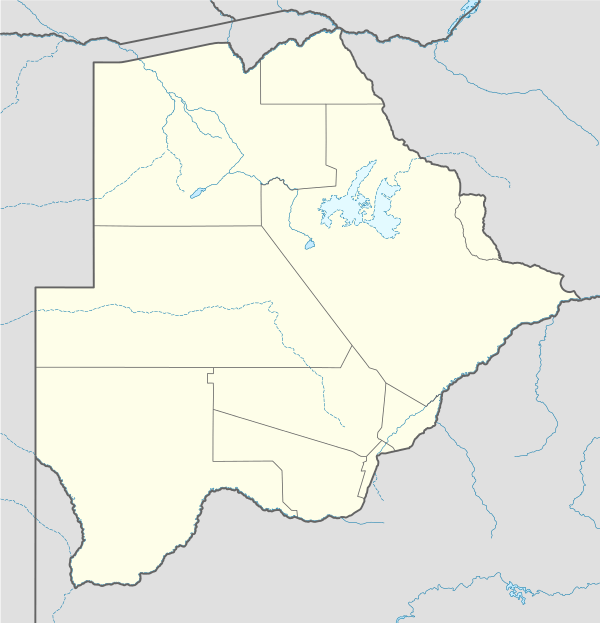 Otse Location of Otse | |
| Coordinates: 25°2′0″S 25°44′19″E | |
| Country | |
| District | South East |
| Population (2011)[1] | |
| • Total | 7,636 |
| Time zone | UTC+2 (CAT) |
Geography
Otse is surrounded by hills most notably the ancestral Baratani hill.
Demographics
| Census | Population |
|---|---|
| 1991 | 3,106 |
| 2001 | 5,192 |
| 2011 | 7,636Preliminary |
Attractions
- Three historical site:- Lentswe la Baratani
- Segorong
- One Game Reserve:- Manyelanong Game Reserve
Education
Otse has ten day care centres, two primary schools, one junior secondary school, and senior secondary school (Moeding College).
gollark: (via plethora)
gollark: ... obviously?
gollark: Droppers are peripherals.
gollark: PotatOS are peripherals.
gollark: Chests are peripherals.
References
- "2011 Preliminary Census Results" (PDF). Central Statistics Office. Archived from the original (PDF) on 2015-09-23. Retrieved 2011-12-02.
- "Distribution of population by sex by villages and their associated localities: 2001 population and housing census". Archived from the original on 2007-11-24. Retrieved 2008-02-04.
This article is issued from Wikipedia. The text is licensed under Creative Commons - Attribution - Sharealike. Additional terms may apply for the media files.