Orofia
Orofia (Orofia, Ukpo) is a village located in Ukpo, Anambra state in southeast Nigeria. It shares boundaries with Oranto in the south, Isiekwulu to the east, Akaezi to the northeast, Akpu to the north and west, all within Ukpo town.
Orofia, Ukpo | |
|---|---|
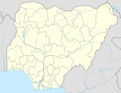 Orofia, Ukpo Location in Nigeria | |
| Coordinates: 6°11′N 6°54′E | |
| Country | |
| State | Anambra State |
| Local Government Area | Dunukofia |
| Town | Ukpo |
| Village | Orofia |
| Area | |
| • City | 650 sq mi (1,700 km2) |
| • Land | 750 sq mi (1,900 km2) |
| • Water | 65 sq mi (120 km2) 80%% |
| • Urban | 500 sq mi (600 km2) |
| • Metro | 20 sq mi (50 km2) |
| Elevation | 499 ft (152 m) |
| Population (2006) | |
| • City | 12,000 |
| • Density | 240/sq mi (250/km2) |
| • Urban | 450 |
| • Urban density | 650/sq mi (560/km2) |
| • Metro | 680 |
| • Metro density | 670/sq mi (650/km2) |
| Time zone | GMT+1 |
| Website | http://WWW.CHIDEX2070.WAPKA.MOBI |
Natural resources
Orofia's natural resources include bauxite, ceramic, and soil that is nearly 100% arable. Agro-based activities like fishery and farming, as well as land cultivated for pasturing and animal husbandry also add to the rich natural resources of Orofia. Orofia village is the leading rice producer in Ukpo.
Economy
The Oye market in the area draws buyers and sellers from different parts of the town and the state as a whole, thereby improving economic status of the community. There is also presence of a water-bottling company in the area, owned by the famous philanthropist and oil baron Arthur Eze. The area also hosts the Nnamdi Azikiwe University Teaching Hospital, Ukpo. It also hosts the bank of agriculture of Ukpo.
Geography
The village is bordered by the villages of Akpu, Akaezi, Oranto, and Isiekwulu. There are several rivers and streams in the town, some of which act as natural boundaries with neighboring towns like the Ali stream. The soil in the village is rich in nutrients and supports the commercial farming of several local crops, such as yam, cassava, rice and other vegetables.
Geology
The area is situated in the Anambra basin, one of seven stratigraphic basins in Nigeria. The area is of the Ameki formation from the Eocene epoch, and it consists of ferruginous, unconsolidated sandstone and sand-rich heterolithic bedding. The basal part is the shale, and the sandstone is a prolific aquifer. The presence of some sharp contacts between the sandstone and the shale results in springs and rivers flowing in some areas. This Ameki formation is underlain by the Paleocene Imo formation and overlain by the Oligocene Ogwashi-Asaba formation[1]
History
The Orofia people are of Igbo descent, with some Igala population. The village is made up of three kindred: Ezuogu kindred, Enuora kindred, and the Adagbe kindred. Izuogu was a warrior, and conquered many hamlets during his time. He brought back the hamlet's properties to a centre in his domicile that was named Amaizuogu. He begot so many sons and grandsons, including Nwokeabia, Nwankwo, Madumelu, Ochife, Afulukwe, Akata, and Ezulu. Madumelu, the son of Nwokeabia, then became a powerful priest and custodian of the Udo dynasty. He lived to be about 135 years old and became the longest serving priest in the Ukpo town, as well as the oldest man at that period.
References
- chidera, ikechukwu. geology of the ukpo area by ikechukwu chidera vincent. abuja: Journal of Natural Sciences Research. p. 1.