Orangeburg, Kentucky
Orangeburg is an unincorporated community in Mason County, Kentucky, United States. Orangeburg is located at the junction of Kentucky Route 1234 and Kentucky Route 1449 5.9 miles (9.5 km) south-southeast of Maysville.[2]
Orangeburg, Kentucky | |
|---|---|
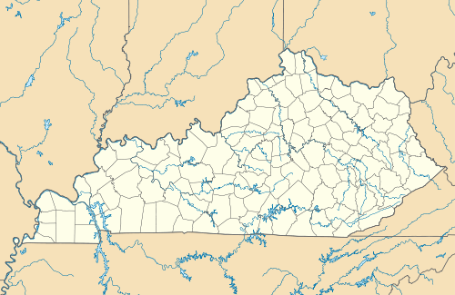 Orangeburg Location within the state of Kentucky  Orangeburg Orangeburg (the United States) | |
| Coordinates: 38°34′03″N 83°41′20″W | |
| Country | United States |
| State | Kentucky |
| County | Mason |
| Elevation | 774 ft (236 m) |
| Time zone | UTC-5 (Eastern (EST)) |
| • Summer (DST) | UTC-4 (EST) |
| Area code(s) | 606 |
| GNIS feature ID | 499971[1] |
The Milton Mills in Orangeburg are listed on the National Register of Historic Places.[3]
Notes
- "Orangeburg". Geographic Names Information System. United States Geological Survey.
- State Primary Road System: Mason County (PDF) (Map). Kentucky Transportation Cabinet. 2014. Retrieved September 19, 2014.
- "National Register Information System". National Register of Historic Places. National Park Service. July 9, 2010.
Municipalities and communities of Mason County, Kentucky, United States | ||
|---|---|---|
| Cities | 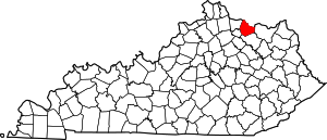 Location of Mason County, Kentucky | |
| CDP | ||
| Other unincorporated communities | ||
| Footnotes | ‡This populated place also has portions in an adjacent county or counties | |
gollark: Yes. But they mostly teach Scratch and stuff.
gollark: https://osmarks.tk/nemc/
gollark: I mean, it's easier, but it may not teach things well. I wrote a blog post about this.
gollark: And actually state a question?
gollark: Can you post your *full* code?
This article is issued from Wikipedia. The text is licensed under Creative Commons - Attribution - Sharealike. Additional terms may apply for the media files.