Ola, Nevada
Ola is a ghost town and railroad siding in eastern Elko County, Nevada, United States.[1]
Ola, Nevada | |
|---|---|
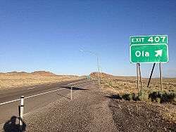 Ola exit on Interstate 80, June 2014 | |
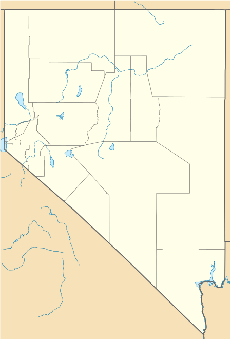 Ola Location in the state of Nevada  Ola Ola (the United States) | |
| Coordinates: 40°43′17″N 114°08′48″W | |
| Country | United States |
| State | Nevada |
| County | Elko |
| Elevation | 4,626 ft (1,410 m) |
| Time zone | UTC-8 (PST) |
| • Summer (DST) | UTC-7 (PDT) |
| GNIS feature ID | 856332[1] |
Description
The site of the former community is located on the western edge of the Great Salt Lake Desert, just west of West Wendover and about 3.2 miles (5.1 km) southwest of the Ola Interchange (Exit 407) on Interstate 80 in Nevada/U.S. Route 93 Alternate. Other than a railroad siding, almost nothing remains at the site.
gollark: \so it's probably fine.
gollark: I mean, the urandom thing which is used in some of the crypto libraries PotatOS uses uses math.random *and* tostringed tables *and* events for entropy.
gollark: No, it's a CraftOS-PC issue.
gollark: They're in probably the elliptic curve and SHA256 code. I don't understand it well enough to change stuff.
gollark: Weird that nothing else broke.
External links
![]()
Municipalities and communities of Elko County, Nevada, United States | ||
|---|---|---|
| Cities | 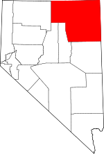 Elko County map | |
| CDPs | ||
| Other unincorporated communities |
| |
| Indian reservations | ||
| Ghost towns |
| |
| Footnotes | ‡This populated place also has portions in an adjacent county or counties | |
This article is issued from Wikipedia. The text is licensed under Creative Commons - Attribution - Sharealike. Additional terms may apply for the media files.