Ojojona
Ojojona is a municipality in the Honduran department of Francisco Morazán, located 34 km south of Tegucigalpa.
Ojojona | |
|---|---|
Municipality | |
 Ojojona church | |
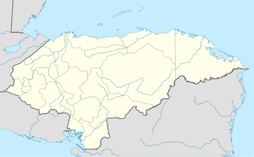 Ojojona Location in Honduras | |
| Coordinates: 13°56′N 87°18′W | |
| Country | Honduras |
| Department | Francisco Morazán |
| Founded | 1579 |
| Area | |
| • Total | 260 km2 (100 sq mi) |
| Population (2015) | |
| • Total | 10,729 |
| • Density | 41/km2 (110/sq mi) |
| Climate | Cwb |
It was founded in 1579 by Spanish miners who worked the silver and gold mines of the area. Notable natives include the painter Pablo Zelaya Sierra.
Location
The municipality has borders at north with the Central District, at south with the municipality of Reitoca and Sabanagrande, at the east with the municipalities of Santa Ana and Sabanagrande and at west with the municipalities of Reitoca and Lepaterique. It is situated in a small plateau in one of the hills of Cerro de Hule, at the base of the Payaguagre mountain.
Villages
The municipality has 12 recognized villages:
- Ojojona (the main village)
- El Aguacatal
- El Círculo
- Aragua
- El Jícaro
- Guasucarán
- Güerisne
- Santa Cruz
- Saracarán
- Surcos de Caña
- Cofradía de Jícaro
- Cofradía de Güerisne

gollark: Anyway, I'd now like to discuss the phenomenological implications of `border: 1px solid black;`.
gollark: Trivially. Please pay attention.
gollark: The AI is as it is because I don't understand minimax or alpha-beta pruning and was in a hurry, and with the ugly hack shoved on top of it to make it react to instant threats it actually works quite well. Also computing power constraints.
gollark: Anyway, I assume people are curious about the implementation of #4 now.
gollark: Keyboards are the most common way code is written.
This article is issued from Wikipedia. The text is licensed under Creative Commons - Attribution - Sharealike. Additional terms may apply for the media files.