Ojika, Nagasaki
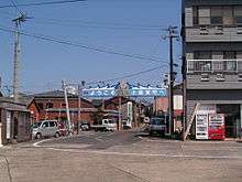
Ojika (小値賀町, Ojika-chō) is a town located in Kitamatsuura District, Nagasaki Prefecture, Japan.
Ojika 小値賀町 | |
|---|---|
Town | |
Flag  Emblem | |
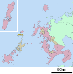 Location of Ojika in Nagasaki Prefecture | |
 Ojika Location in Japan | |
| Coordinates: 32°12′N 129°4′E | |
| Country | Japan |
| Region | Kyushu |
| Prefecture | Nagasaki Prefecture |
| District | Kitamatsuura |
| Area | |
| • Total | 25.46 km2 (9.83 sq mi) |
| Population (March 1, 2017) | |
| • Total | 2,588 |
| • Density | 100/km2 (260/sq mi) |
| Time zone | UTC+9 (JST) |
| Website | www |
It covers the island of the same name Ojika, located north of Gotō Islands.
As of March 1, 2017, the town has an estimated population of 2,588[1] and a density of 100 persons per km². The total area is 25.46 km².
Ojika island is a part of Saikai National Park.
Ojika history
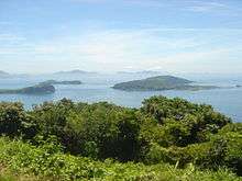
The town of Ojika is made up of 17 large and small islands. Over 20 volcanoes can be found in the sea surrounding the island. The area has been called the "Eastern Galapagos Island." The main island is approximately 34 km in circumference, with all islands totaling 97 km in circumference. The islands are found within the boundaries of Saikai National Park preserving the regions natural heritage.
Stone tools dated from 10,000 B.C. have been discovered on the islands, along with other relics. In the past Ojika flourished as a port used in transit to China. Around the year 1600 whaling became a major industry, with certain families such as the Oda family profiting from the trade. The present day Ojika History Museum was the former home of the Oda family.
Today the population of the island is rapidly decreasing, and is now around half the number as in the 1970s. The island hosts the Ojika International Music Festival and Kids Camping Kingdom, as well as various other activities promoting sightseeing. Besides tourism, major industries include fishing and farming. A wide variety of Ojika's marine products are famous, such as Isaki, Buri, tachi-uo, and Awabi.
Major sights
Akahama coast
Ojika islands are made up of volcanic rocks, thus much of the coast consists of red sands.
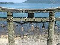
Koujima Shrine
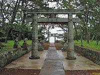
The shrine consists of a rare torii gate which is composed of three parts. The Maegata Bay can be found adjacent to the shrine, and was the port visited by Kentoushi, the Japanese envoy to the Tang Dynasty.
Hime no Matubara
A 450 meter long avenue of pine trees, this avenue has been selected as the best of 100 pine tree locations in Japan, and the best of 8 sights in the Hokusho county.
References
- "Official website of Ojika Town" (in Japanese). Japan: Ojika Town. Retrieved 26 April 2017.
External links

- Ojika official website (in Japanese)
- Ojika and Nozaki Island Tourism website (in Japanese)
