Ograzhden Cove
Ograzhden Cove (Bulgarian: залив Огражден, romanized: zaliv Ograzhden, IPA: [ˈzalif oˈɡraʒdɛn]) is the 680 m wide cove indenting for 550 m the northwest coast of Ray Promontory, part of Svishtov Cove in Byers Peninsula, Livingston Island in the South Shetland Islands, Antarctica. The cove is entered south of Essex Point and north of Kardzhali Point.
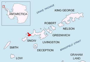
Location of Byers Peninsula on Livingston Island in the South Shetland Islands.
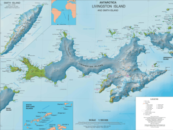
Topographic map of Livingston Island
The feature is "named after Ograzhden Mountain in southwestern Bulgaria."[1][2]
Location
Ograzhden Cove is centred at 62°34′50″S 61°10′50″W. British mapping in 1968, Spanish in 1993 and Bulgarian in 2009.
Maps
- Península Byers, Isla Livingston. Mapa topográfico a escala 1:25000. Madrid: Servicio Geográfico del Ejército, 1992.
- L.L. Ivanov. Antarctica: Livingston Island and Greenwich, Robert, Snow and Smith Islands. Scale 1:120000 topographic map. Troyan: Manfred Wörner Foundation, 2009. ISBN 978-954-92032-6-4
- Antarctic Digital Database (ADD). Scale 1:250000 topographic map of Antarctica. Scientific Committee on Antarctic Research (SCAR). Since 1993, regularly upgraded and updated.
- L.L. Ivanov. Antarctica: Livingston Island and Smith Island. Scale 1:100000 topographic map. Manfred Wörner Foundation, 2017. ISBN 978-619-90008-3-0
gollark: Such as?
gollark: I know a pretty good dictionary API, actually, so if anyone wants to get syonyms fast or something...?
gollark: Now to add useful commands like a Gluon runner.
gollark: <@345300752975003649> <@!485027179286102018>
gollark: https://discord.gg/JHTEVs
References
- Ograzhden Cove. SCAR Composite Gazetteer of Antarctica.
- Bulgarian Antarctic Gazetteer. Antarctic Place-names Commission. (details in Bulgarian, basic data in English)
External links
- Ograzhden Cove. Copernix satellite image
This article includes information from the Antarctic Place-names Commission of Bulgaria which is used with permission.
This article is issued from Wikipedia. The text is licensed under Creative Commons - Attribution - Sharealike. Additional terms may apply for the media files.