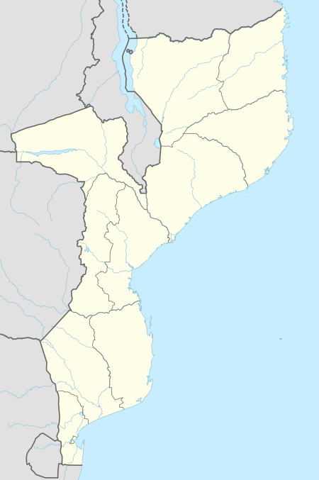
Ntete
Ntete is a village in Ancuabe District in Cabo Delgado Province in northeastern Mozambique.[1]
Ntete | |
|---|---|
 Ntete Location in Mozambique | |
| Coordinates: 12°59′13″S 39°50′15″E | |
| Country | |
| Province | Cabo Delgado Province |
| District | Ancuabe District |
| Time zone | UTC+2 (Central Africa Time) |
It is located 1.2 miles (1.9 km) away from the district capital of Ancuabe on the southwestern outskirts of the town.
Transport
The nearest airport is 40 miles (64 km) away at Pemba Airport.
gollark: Epicbot tells me I'm similar to polyhedra.
gollark: <@!293066066605768714> <@!293066066605768714> <@!293066066605768714> <@!293066066605768714> <@!293066066605768714> <@!293066066605768714> <@!293066066605768714> <@!293066066605768714> <@!293066066605768714> <@!293066066605768714> <@!293066066605768714> <@!293066066605768714> <@!293066066605768714> <@!293066066605768714> <@!293066066605768714> <@!293066066605768714> <@!293066066605768714> <@!293066066605768714> <@!293066066605768714> <@!293066066605768714> <@!293066066605768714> <@!293066066605768714> <@!293066066605768714> <@!293066066605768714> <@!293066066605768714> <@!293066066605768714> <@!293066066605768714> <@!293066066605768714> <@!293066066605768714> <@!293066066605768714> <@!293066066605768714> <@!293066066605768714> <@!293066066605768714> <@!293066066605768714> <@!293066066605768714> <@!293066066605768714> <@!293066066605768714> <@!293066066605768714> <@!293066066605768714>
gollark: ++about
gollark: Weird.
gollark: ++magic py bot.guilds
References
- "NGA GeoName Database". National Geospatial Intelligence Agency. Archived from the original on 2008-06-08. Retrieved 2008-06-26.
This article is issued from Wikipedia. The text is licensed under Creative Commons - Attribution - Sharealike. Additional terms may apply for the media files.