Nevada State Route 816
State Route 816 (SR 816) is a 0.610-mile-long (0.982 km) state highway in Lincoln County, Nevada. It runs east from Lincoln County Airport to US 93 near Panaca.
_in_Panaca%2C_Nevada.jpg)
View at the west end of SR 816 looking eastbound
| ||||
|---|---|---|---|---|
| Airport Road | ||||
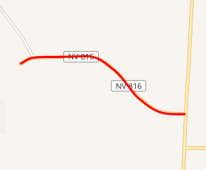
SR 816 highlighted in red | ||||
| Route information | ||||
| Maintained by NDOT | ||||
| Length | 0.610 mi[1] (0.982 km) | |||
| Major junctions | ||||
| West end | Lincoln County Airport | |||
| East end | ||||
| Location | ||||
| Counties | Lincoln | |||
| Highway system | ||||
| ||||

Major intersections
The entire route is in Lincoln County.
| Location | mi[1] | km | Destinations | Notes | |
|---|---|---|---|---|---|
| | 0.000 | 0.000 | Lincoln County Airport | ||
| Panaca | 0.610 | 0.982 | |||
| 1.000 mi = 1.609 km; 1.000 km = 0.621 mi | |||||
gollark: > saw kyanite pygmy in AP> thought about getting it> decided to> it's gone
gollark: *banned*
gollark: They should just remove sickness already.
gollark: You can, I have dynamic DNS and a `CNAME` record on my domain's DNS pointing to that.
gollark: Doesn't matter that much, my dynamic IP thing means that it alternates between my actual location and nearby villages.
References
- Nevada Department of Transportation (January 2017). "State Maintained Highways of Nevada: Descriptions and Maps". Retrieved 2017-01-13.
| Wikimedia Commons has media related to Nevada State Route 816. |
This article is issued from Wikipedia. The text is licensed under Creative Commons - Attribution - Sharealike. Additional terms may apply for the media files.