Nausdorf Canal
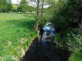
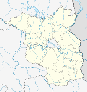
The Nausdorf Canal (German: Nausdorfer Kanal) is a canal in the municipalities of Lenzen and Karstädt in the northwest of Brandenburg, Germany. It links two lakes — the Rambower See, in Karstädt, and the Rudower See, in Lenzen — and runs through the Rambower Moor. It takes its name from the village of Nausdorf, part of Lenzen, located midway along the canal.
 Nausdorfer Kanal at Nausdorf | |
  | |
| Location | Lenzen (Elbe) and Karstädt, Brandenburg |
|---|---|
| Country | Germany |
| Coordinates | 53°07′31″N 11°33′01″E |
| Specifications | |
| Length | 5 km (3.1 miles) |
| Maximum boat beam | 3 m (9 ft 10 in) (originally 8 m or 26 ft 3 in) |
| Maximum height above sea level | 17 m (56 ft) |
| History | |
| Date completed | 1879 |
| Date extended | 1925 |
| Geography | |
| Start point | Rambower See |
| End point | Rudower See |
Already in the 15th century, there was a mill stream that powered a mill in Nausdorf that existed until 1833. The canal was built between 1862 and 1879, and expanded in 1924/1925 to its present dimensions.[1]
The canal is about 5 kilometres (3.1 mi) long and was designed with a width of 8–10 metres (26–33 ft); today at points it is a maximum of 3 metres (9.8 ft) wide. Its depth is about 1 metre (3 ft 3 in); its bed is covered with a thick layer of mud. The watercourse is not navigable. It is popular with anglers due to its large stock of whitefish.
References
- Kroth, Bernd (2009). "Veränderungen im Wasserhaushalt des Rambower Moores aus historischer Sicht" [Changes in the water supply of the Rambower Moor from a historical perspective]. Das Rambower Moor, Beiträge zur Natur- und Heimatkunde [The Rambower Moor, articles about natural and local history]. Auenreport, 9. Lenzen Förderverein Biosphärenreservat Flusslandschaft Elbe Brandenburg e.V. OCLC 921912369. Also OCLC 935796216.