Mount Saramati
Saramati (Burmese: စာရာမေတိတောင်; IPA: [ˌsæɹəˈmɑːti]) is a peak rising above the surrounding peaks at the mountainous border of Nagaland state, India and the Sagaing Region, Burma. It is located near Thanamir Village in the Kiphire district of Nagaland.
| Saramati | |
|---|---|
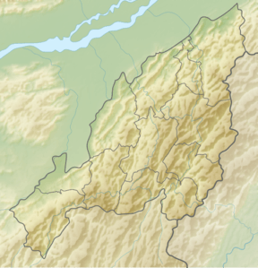 Saramati Location in Nagaland, India near the border with Burma 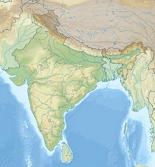 Saramati Saramati (India) 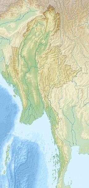 Saramati Saramati (Myanmar) | |
| Highest point | |
| Elevation | 3,826 m (12,552 ft) [1] |
| Prominence | 2,885 m (9,465 ft) [1] Ranked 113th |
| Isolation | 270 km (170 mi) |
| Listing | Ultra List of Indian states and territories by highest point |
| Coordinates | 25°44′24″N 95°2′15″E [1] |
| Geography | |
| Location | Burma–India border |
| Parent range | Purvanchal Range[2] |
| Climbing | |
| First ascent | unknown |
With a height of 3,840 m and a prominence of 2,885 m, Saramati is one of the ultra-prominent peaks of Southeast Asia.[3]
See also
- List of mountains in Burma
- List of Ultras of Southeast Asia
References
- "Burma and Eastern India - 19 Mountain Summits with Prominence of 1,500 meters or greater". Peaklist.org. Retrieved 29 December 2011.
- The new encyclopaedia Britannica
- "Saramati, Myanmar/India". Peakbagger.com. Retrieved 29 August 2014.
External links
| Governance | |
|---|---|
| Topics | |
| Divisions |
|
| Districts | |
| Main cities and towns | |
This article is issued from Wikipedia. The text is licensed under Creative Commons - Attribution - Sharealike. Additional terms may apply for the media files.