Mount Field, Tasmania
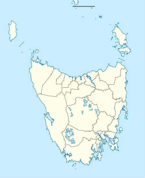
Mount Field is a rural locality in the local government areas of Central Highlands and Derwent Valley in the Central and South-east regions of Tasmania. It is located about 53 kilometres (33 mi) north-west of the town of New Norfolk. The 2016 census determined a population of 3 for the state suburb of Mount Field.[1]
| Mount Field Tasmania | |||||||||||||||
|---|---|---|---|---|---|---|---|---|---|---|---|---|---|---|---|
 Mount Field | |||||||||||||||
| Coordinates | 42°39′57″S 146°35′07″E | ||||||||||||||
| Population | 3 (2016)[1] | ||||||||||||||
| Postcode(s) | 7140 | ||||||||||||||
| Location | 53 km (33 mi) NW of New Norfolk | ||||||||||||||
| LGA(s) | Central Highlands, Derwent Valley | ||||||||||||||
| Region | Central, South-east | ||||||||||||||
| State electorate(s) | Lyons | ||||||||||||||
| Federal Division(s) | Lyons | ||||||||||||||
| |||||||||||||||
History
Mount Field is a confirmed suburb/locality.[2]
Etymology
It is believed that the locality was named for Mount Field National Park, which was named for Judge Barron Field, who visited Tasmania as an itinerant judge in 1819 and 1821.[3]
Geography
The locality is almost wholly contained within Mount Field National Park.[4]
Road infrastructure
The C609 route (Lake Dobson Road) enters from the east and runs generally west to Lake Dobson, where it terminates.[2][5]
gollark: 0.98 days but whatever.
gollark: The statistics panel says I've spent an entire day sneaking.
gollark: You can't escape.
gollark: I WILL join shortly.
gollark: Greetings, mortals.
References
- "2016 Census Quick Stats Mount Field (Tas.)". quickstats.censusdata.abs.gov.au. Australian Bureau of Statistics. 23 October 2017. Retrieved 5 June 2020.
- "Placenames Tasmania – Mount Field". Placenames Tasmania. Retrieved 5 June 2020.
Select “Search”, enter 38086Q, click “Search”, select row, map is displayed, click “Details”
- "Placenames Tasmania – Mount Field National Park". Placenames Tasmania. Retrieved 29 July 2020.
Select “Search”, enter 38484D, click “Search”, select row, map is displayed, click “Details”
- Google (5 June 2020). "Mount Field, Tasmania" (Map). Google Maps. Google. Retrieved 5 June 2020.
- "Tasmanian Road Route Codes" (PDF). Department of Primary Industries, Parks, Water & Environment. May 2017. Archived from the original (PDF) on 1 August 2017. Retrieved 18 May 2020.
This article is issued from Wikipedia. The text is licensed under Creative Commons - Attribution - Sharealike. Additional terms may apply for the media files.