Mothey
Moteh or Mothey is a village in Suryapet district of the Indian state of Telangana. It is located in Mothey mandal of Suryapet division.[2]
Mothey | |
|---|---|
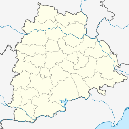 Mothey Location in Telangana, India  Mothey Mothey (India) | |
| Coordinates: 17.1667°N 79.8000°E | |
| Country | India |
| State | Telangana |
| District | Suryapet |
| Area | |
| • Total | 9.48 km2 (3.66 sq mi) |
| Elevation | 237 m (778 ft) |
| Population (2011)[1] | |
| • Total | 2,241 |
| • Density | 240/km2 (610/sq mi) |
| Languages | |
| • Official | Telugu |
| Time zone | UTC+5:30 (IST) |
| PIN | 508212 |
| Vehicle registration | TS |
| Nearest city | Suryapet |
| Climate | hot (Köppen) |
| Website | telangana |
Geography
Moteh is located at 17.1667°N 79.8000°E.[3] It has an average elevation of 237 metres (780 ft).
gollark: I just always use pens, since I accidentally ran out of pencils at some point.
gollark: I tried writing left-handed ironically but it remains really slow and annoying.
gollark: Somehow this works fine with no issues except lots of smudging.
gollark: Although with only two fingers below it.
gollark: I obviously do not photograph myself for obvious reasons, but I grip a pen fairly closely to "knijn".
References
- "District Census Handbook - Nalgonda" (PDF). Census of India. p. 13,308. Retrieved 15 February 2016.
- "Suryapet district" (PDF). New Districts Formation Portal. Archived from the original (PDF) on 11 October 2016. Retrieved 11 October 2016.
- Moteh at Fallingrain.com
This article is issued from Wikipedia. The text is licensed under Creative Commons - Attribution - Sharealike. Additional terms may apply for the media files.