Mossgiel County
Mossgiel County is one of the 141 Cadastral divisions of New South Wales, Australia. Waverley Creek is the boundary to the south. It includes Trida.
| Mossgiel New South Wales | |||||||||||||||
|---|---|---|---|---|---|---|---|---|---|---|---|---|---|---|---|
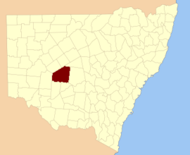 Location in New South Wales | |||||||||||||||
| |||||||||||||||
Mossgiel County appears to have been named from the nearby Mossgiel Station.[1]
Parishes within this county
A full list of parishes found within this county; their current LGA and mapping coordinates to the approximate centre of each location is as follows:
gollark: * quite easy
gollark: * possible
gollark: But why?
gollark: Bad.
gollark: I actually have *shock horror* an application for Keymash.
References
- "Mossgiel County". Geographical Names Register (GNR) of NSW. Geographical Names Board of New South Wales.

This article is issued from Wikipedia. The text is licensed under Creative Commons - Attribution - Sharealike. Additional terms may apply for the media files.