Monte Stella (Cilento)
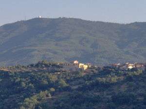
Monte Stella is a mountain the Lucan Subappennines, with an elevation of 1,131 m, located in Cilento, Campania, southern Italy.
| Stella | |
|---|---|
 | |
| Highest point | |
| Elevation | 1,131 m (3,711 ft) |
| Coordinates | 40°14′14.65″N 15°3′58.6″E |
| Geography | |
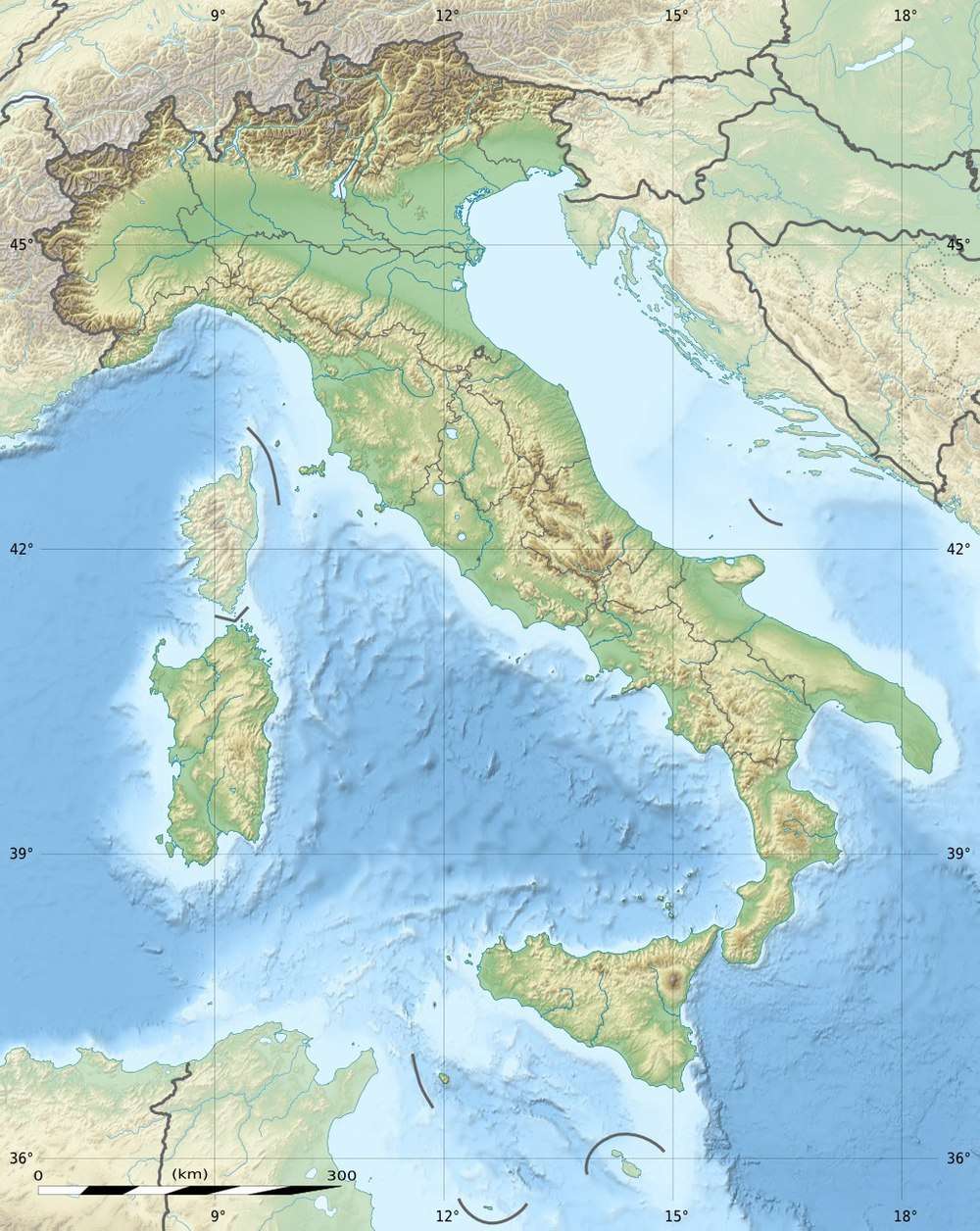 Stella Location in Italy | |
| Location | Province of Salerno (Campania, Italy) |
| Parent range | Lucan Subappennines |
Geography
At his slopes there are located the villages of Serramezzana, San Mauro Cilento, Galdo (hamlet of Pollica), Amalafede, San Giovanni, Guarrazzano, Stella Cilento, Omignano, Sessa Cilento, Castagneto, San Mango Cilento, Mercato Cilento and Perdifumo.
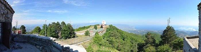
On the summit is a radar station and the "Madonna del Monte Stella" church.
Pictures
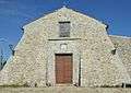 The church from the front
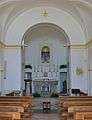 Inside the church
gollark: Great, right?
gollark: So really, stuff can break for no apparent reason with no recourse other than randomly restarting things.
gollark: See, networking is awful and everything barely holds together on several levels.
gollark: WiFi is somewhat insecure because apparently the... Wi-Fi Alliance, I think? repeatedly manage to be idiots who make stupid design mistakes which don't get fixed even when people point them out prior to WPA-n, n∈ℕ standardization.
gollark: Public key.
See also
References
This article is issued from Wikipedia. The text is licensed under Creative Commons - Attribution - Sharealike. Additional terms may apply for the media files.