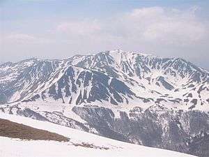
Monte Prado
Monte Prado (or Prato) is a mountain in the northern Apennines, located in the trait between the Pradarena and Radici Passes, with an altitude of 2,054 metres (6,739 ft).
| Monte Prado | |
|---|---|
 | |
| Highest point | |
| Elevation | 2,054 m (6,739 ft) |
| Prominence | 288 m (945 ft) |
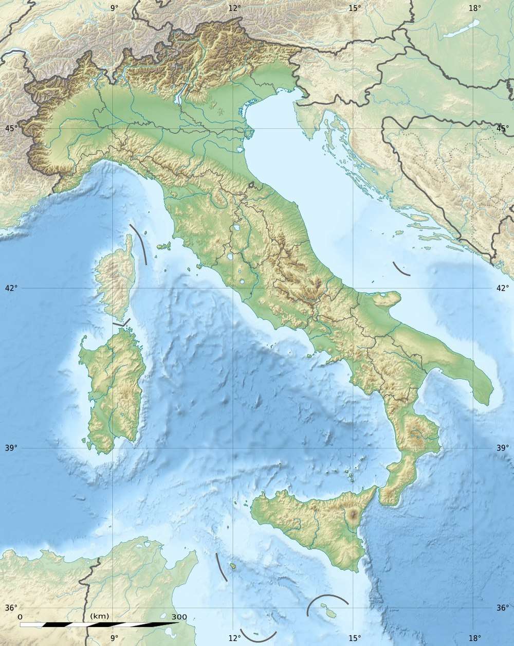
| Coordinates | 44°15′00″N 10°24′27″E |
| Geography | |
 Monte Prado | |
| Parent range | Tuscan-Emilian Apennines |
Geography
Monte Prado is right on the boundary between the province of Reggio Emilia and that of Lucca.
Environment protection
The mountain is part of the National Park of the Appennino Tosco-Emiliano.[1]
gollark: "Dear God, please deliver unto us a USB cable with one-day shipping"
gollark: Also, it would be funny.
gollark: It's a shame it's not customizable. You could set it to "Dear God" or something.
gollark: Google then Facebook in my opinion, yes.
gollark: There was that cool exploit with using a laser to mess up the microphones and make them "hear" things too.
References
- Cime, Ente Parco Nazionale Appennino Tosco-Emiliano web-page on www.parcoappennino.it
This article is issued from Wikipedia. The text is licensed under Creative Commons - Attribution - Sharealike. Additional terms may apply for the media files.