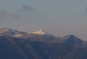
Monte Lesima
| Monte Lesima | |
|---|---|
 | |
| Highest point | |
| Elevation | 1,724 m (5,656 ft) [1] |
| Prominence | 848 m (2,782 ft) [1] |
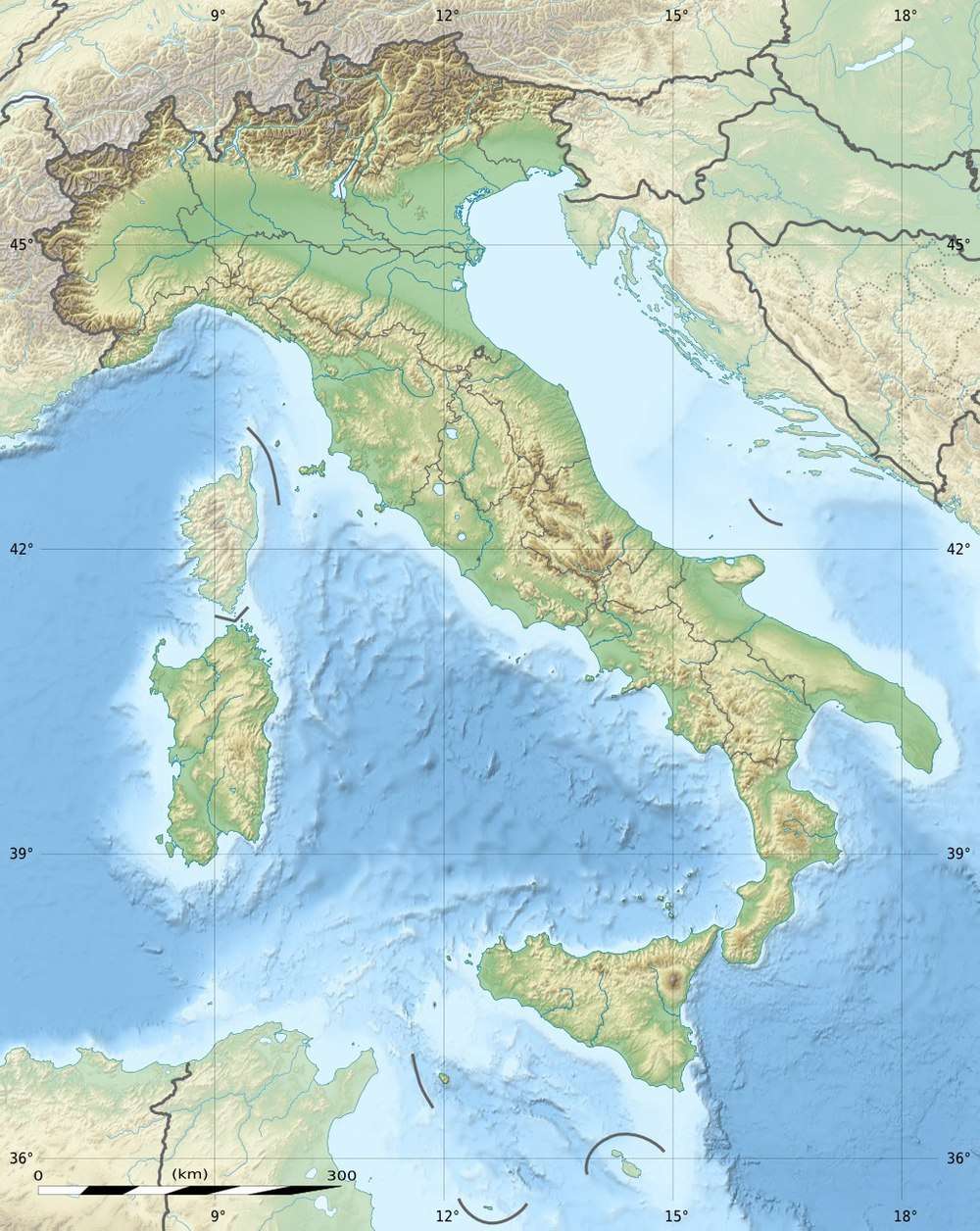
| Coordinates | 44°40′47″N 9°15′35″E |
| Geography | |
 Monte Lesima | |
| Parent range | Liguran Apennine |
Monte Lesima is a mountain of the Apennines.
Geography
The mountain is located on the border between Province of Pavia (Lombardy) and Province of Piacenza (Emilia-Romagna), Italy. It has an elevation of 1,724 metres. On its top near a big summit cross stands a radar station.
gollark: exit and write?
gollark: musl is pretty small, but still more than that.
gollark: I assume it's dynamically linked and the 8KB is overhead from including it.
gollark: You can meddle with some compile flags.
gollark: Hey, reimplement your wordsearch program in x86-64.
References
- ''Monte Lèsima, Italy, www.peakbagger.com
This article is issued from Wikipedia. The text is licensed under Creative Commons - Attribution - Sharealike. Additional terms may apply for the media files.