Montana Highway 72
Montana Highway 72 (MT 72) in the U.S. State of Montana is a route running northerly from the Wyoming state line to an intersection with U.S. Route 310 (US 310) about one mile (1.6 km) south of the town of Bridger, a distance of approximately 21 miles (34 km). At the state line, the road becomes Wyoming Highway 120, which continues 38 miles (61 km) to the town of Cody.
| ||||
|---|---|---|---|---|
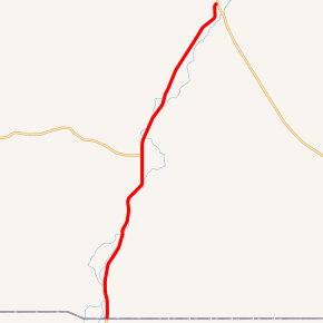
MT 72 highlighted in red | ||||
| Route information | ||||
| Maintained by MDT | ||||
| Length | 21.408 mi[1] (34.453 km) | |||
| Major junctions | ||||
| South end | ||||
| North end | ||||
| Location | ||||
| Counties | Carbon | |||
| Highway system | ||||
| ||||

History
Before receiving its current designation, the portion of Highway 72 north of Belfry was a part of Montana Secondary Highway 308 (S-308), and the segment between Belfry and the Wyoming state line was designated as S-397.[2][3]
Major intersections
The entire route is in Carbon County.
| Location | mi[1] | km | Destinations | Notes | |
|---|---|---|---|---|---|
| | 0.000 | 0.000 | Continuation into Wyoming | ||
| Belfry | 10.539 | 16.961 | |||
| Bridger | 21.408 | 34.453 | Northern terminus | ||
| 1.000 mi = 1.609 km; 1.000 km = 0.621 mi | |||||
gollark: oh apiobees.
gollark: ddg! "lyricly bad"
gollark: Yes. Purchase duck.
gollark: Seems reasonable, go buy one.
gollark: ddg! taobao rubber duck
References
- "Montana Road Log" (PDF). Montana Department of Transportation. 2011. Retrieved April 12, 2012.
- Montana State Highway Commission (1977). State Highway Map (PDF) (Map). Helena: Montana State Highway Commission. Retrieved December 20, 2018.
- Montana State Highway Commission (1978). State Highway Map (PDF) (Map). Helena: Montana State Highway Commission. Retrieved December 20, 2018.
- Official 2007-2008 Montana Highway Travel Map (PDF) (Map). Montana Department of Transportation. Retrieved 2007-12-08.
This article is issued from Wikipedia. The text is licensed under Creative Commons - Attribution - Sharealike. Additional terms may apply for the media files.