Monchique (parish)
Monchique is a freguesia (parish) in Monchique Municipality (Algarve, Portugal). The population in 2011 was 4,817,[1] in an area of 159.28 km².[2]
Monchique | |
|---|---|
 Coat of arms | |
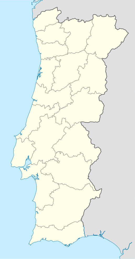
 Monchique Location in Portugal | |
| Coordinates: 37.319°N 8.556°W | |
| Country | |
| Region | Algarve |
| Intermunic. comm. | Algarve |
| District | Faro |
| Municipality | Monchique |
| Area | |
| • Total | 159.28 km2 (61.50 sq mi) |
| Population (2011) | |
| • Total | 4,817 |
| • Density | 30/km2 (78/sq mi) |
| Time zone | UTC±00:00 (WET) |
| • Summer (DST) | UTC+01:00 (WEST) |
| Website | jf-monchique.pt |
Main sites
- Nossa Senhora do Desterro Convent
- Monchique Church or Nossa Senhora da Conceição Church
- Fóia, highest mountain in Algarve
gollark: Well, for a perfect mistake-removing thing yes, but we have things which just *sort of* do that by enforcing some rules, like static typing.
gollark: We've seen *already* exploits in many, many complex things designed by competent programmers. The solution is not "program better and don't make mistakes", you need tools which detect mistakes and/or prevent them.
gollark: Also, if you mess up a surgery and, say, accidentally kill someone, it's more obvious than if your code turns out to have, some years later, had a security hole.
gollark: The medical licensing thing does seem to go around artificially limiting supply?
gollark: I agree.
References
- Instituto Nacional de Estatística
- "Áreas das freguesias, concelhos, distritos e país". Archived from the original on 2018-11-05. Retrieved 2018-11-05.
This article is issued from Wikipedia. The text is licensed under Creative Commons - Attribution - Sharealike. Additional terms may apply for the media files.