Mfuwe Airport
Mfuwe Airport (IATA: MFU, ICAO: FLMF) is an airport serving Mfuwe, a diffuse settlement in the Eastern Province in Zambia. It serves the tourism industry based on the nearby South Luangwa National Park and other wildlife areas in the Luangwa Valley. It takes international flights in the tourist season (making it one of four international airports in Zambia).
Mfuwe Airport | |||||||||||
|---|---|---|---|---|---|---|---|---|---|---|---|
| Summary | |||||||||||
| Airport type | Public / Military | ||||||||||
| Serves | Mfuwe, Zambia | ||||||||||
| Elevation AMSL | 1,853 ft / 565 m | ||||||||||
| Coordinates | 13°15′32″S 31°56′10″E | ||||||||||
| Map | |||||||||||
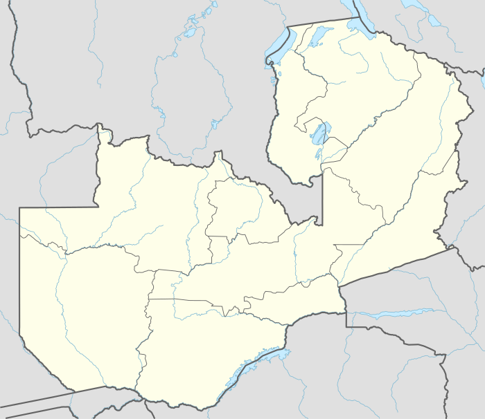
 MFU Location of airport in Zambia | |||||||||||
| Runways | |||||||||||
| |||||||||||
Facilities
The airport elevation is 1,853 feet (565 m) above mean sea level. It has one runway.
Airlines and destinations
| Airlines | Destinations |
|---|---|
| Proflight Zambia | Lusaka |
| Ulendo Airlink | Likoma, Lilongwe, Liwonde, Majete, Southern Lakeshore[3] |
gollark: They do seem to sit for a little while.
gollark: `you attempt to breed these dragons, but the corn dragon explodes when it goes near [fire-aligned dragon]`
gollark: Maybe just a fire-aligned one.
gollark: We should be able to incubate everything, multiple times, for free.
gollark: PagiNOWation!
References
- Airport information for FLMF
- Airport information for Mfuwe Airport at Great Circle Mapper.
- 2015/2016 timetable, "Archived copy" (PDF). Archived from the original (PDF) on 10 March 2016. Retrieved 22 June 2016.CS1 maint: archived copy as title (link)
External links
- SkyVector - Mfuwe Airport
- Current weather for FLMF at NOAA/NWS
- Accident history for Mfuwe Airport at Aviation Safety Network
- Travelling via Mfuwe to South Luangwa
This article is issued from Wikipedia. The text is licensed under Creative Commons - Attribution - Sharealike. Additional terms may apply for the media files.