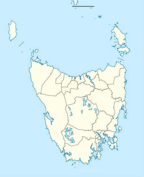
Mersey Forest, Tasmania
Mersey Forest is a locality in the local government areas of Meander Valley and Kentish in the North West region of Tasmania. It is located about 78 kilometres (48 mi) south-west of the town of Devonport. The 2016 census determined a population of zero for the state suburb of Mersey Forest.[1]
| Mersey Forest Tasmania | |||||||||||||||
|---|---|---|---|---|---|---|---|---|---|---|---|---|---|---|---|
 Mersey Forest | |||||||||||||||
| Coordinates | 41°40′59″S 146°12′02″E | ||||||||||||||
| Population | 0 (2016)[1] | ||||||||||||||
| Postcode(s) | 7304 | ||||||||||||||
| Location | 78 km (48 mi) SW of Devonport | ||||||||||||||
| LGA(s) | Meander Valley, Kentish | ||||||||||||||
| Region | North West | ||||||||||||||
| State electorate(s) | Lyons | ||||||||||||||
| Federal Division(s) | Lyons | ||||||||||||||
| |||||||||||||||
History
The Mersey River is believed to have been named in 1826 after the River Mersey in England.[2][3] It is assumed that the locality was named for the river.
Geography
The Mersey River passes through the centre of the locality from south to north. The Rowallan Power Station and its associated Rowallan Dam and Lake Rowallan are on the river in the southern part. The majority of the locality consists of forest reserves, and it is adjoined on the west, south and east by national parks and conservation areas.[4]
Road infrastructure
The C138 route (Mersey Forest Road) enters the locality from the north-east, before turning north-west and exiting as Oliver’s Road. Mersey Forest Road continues south as Route C171 to Rowallan Dam.[5] It then continues further south with no route number, providing access to the Walls of Jerusalem car park and beyond.
References
- "2016 Census Quick Stats Mersey Forest (Tas.)". quickstats.censusdata.abs.gov.au. Australian Bureau of Statistics. 23 October 2017. Retrieved 22 March 2020.
- "Placenames Tasmania - Mersey River". Placenames Tasmania. Retrieved 22 March 2020.
Search, enter 359N, Search, select row, show Details
- "Placenames Tasmania - Mersey Forest". Placenames Tasmania. Retrieved 22 March 2020.
Search, enter 38110N, Search, select row, show Details
- Google (22 March 2020). "Mersey River, Tasmania" (Map). Google Maps. Google. Retrieved 22 March 2020.
- "Tasmanian Road Route Codes" (PDF). Department of Primary Industries, Parks, Water & Environment. May 2017. Archived from the original (PDF) on 1 August 2017. Retrieved 22 March 2020.