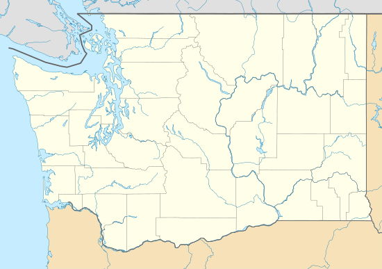
Meadowdale, Washington
Meadowdale is a CDP located in Snohomish County, Washington. In 2010, it had a population of 2,826. It was the first incorporated city in Snohomish County [1]
Meadowdale, Washington | |
|---|---|
 Meadowdale, Washington | |
| Coordinates: 47°51′30″N 122°18′58″W | |
| Country | |
| State | |
| County | Snohomish |
| Area | |
| • Total | 1.07 sq mi (2.8 km2) |
| • Land | 1.07 sq mi (2.8 km2) |
| Elevation | 449 ft (137 m) |
| Population | |
| • Total | 2,826 |
| • Density | 2,600/sq mi (1,000/km2) |
| • Summer (DST) | Pacific |
| Area code(s) | 425 |
A post office called Meadowdale was established in 1904, and remained in operation until 1938.[2] The community was named for a meadow near the original town site.[3]
Geography
Meadowdale is located at coordinates 47°51'30"N 122°18'58"W. The land area is 1.07 sq. miles.[4]
gollark: I like TE and not EIO.
gollark: Ender IO and Thermal Expansion have significant overlap.
gollark: No they're not.
gollark: My network's got a big controller *but* is entirely wired.
gollark: Oh, right.
References
- Caryl, Delmar H., ""With Angels to the Rear: An Informal Portrait of Early Meadowdale"", Dilemma Press, 1960, ISBN 978-0877704751
- "Post Offices". Jim Forte Postal History. Retrieved 19 August 2016.
- Meany, Edmond S. (1923). Origin of Washington geographic names. Seattle: University of Washington Press. p. 162.
- "Meadowdale, Washington". Retrieved 18 August 2014.
This article is issued from Wikipedia. The text is licensed under Creative Commons - Attribution - Sharealike. Additional terms may apply for the media files.
