Maungatapu, Bay of Plenty
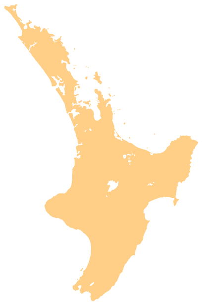
Maungatapu is a suburb and peninsula of Tauranga in the Bay of Plenty region of New Zealand's North Island. It is north-east of Hairini and south-east of Matapihi.
Maungatapu | |
|---|---|
 Maungatapu | |
| Coordinates: 37.721844°S 176.174029°E | |
| Country | |
| Region | Bay of Plenty |
| Territorial authority | Tauranga City |
The Maungatapu Peninsula and Matapihi Peninsula are connected by the Maungatapu Bridge. State Highway 29A runs through both suburbs.
The local Opopoti Marae and Wairakewa meeting house is a meeting place for the Ngāi Te Rangi hapū of Ngāti He.[1][2]
Education
Maungatapu School is a co-educational state primary school for Year 1 to 6 students,[3] with a roll of 553 as of March 2020.[4]
gollark: You obviously run into the issue of "what if the key is leaked", though.
gollark: Hypothetically you could have a cryptocurrency where only the government can issue a coin - instead of mining it (proof of work), it would just be digitally signed by a government key.
gollark: They totally can.
gollark: Having one organization perform an increasingly large amount of important functions never ends well.
gollark: Payments are hard and Bitcoin and other cryptocurrencies, despite being generally kind of terrible, at least have a solution which is *technologically* secured instead of just relying on goodwill or something, and which doesn't force you into one central provider.
References
- "Te Kāhui Māngai directory". tkm.govt.nz. Te Puni Kōkiri.
- "Māori Maps". maorimaps.com. Te Potiki National Trust.
- "Maungatapu School Ministry of Education School Profile". educationcounts.govt.nz. Ministry of Education.
- "Maungatapu School Education Review Office Report". ero.govt.nz. Education Review Office.
This article is issued from Wikipedia. The text is licensed under Creative Commons - Attribution - Sharealike. Additional terms may apply for the media files.