Marco, New Zealand
Marco is a settlement in the Stratford District and the Manawatū-Whanganui region, in the western North Island of New Zealand. It is located to the northeast of Whangamomona on State Highway 43. The Whangamomona River flows through the area. The Stratford - Okahukura railway line passes to the northwest of the settlement.[1][2]
Marco | |
|---|---|
 Marco | |
| Coordinates: 39°6′27″S 174°45′2″E | |
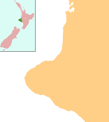
| Country | New Zealand |
| Region | Manawatū-Whanganui region |
| District | Stratford District |
The settlement is named from Marco Road, which runs a short distance to the northwest. The road was named after a dog owned by the district surveyor, Mr Sladden. Marco was killed in the middle of the road line by a huge boar while he and his master were pig hunting.[3]
Education
Marco School is a coeducational full primary school (years 1-8) with a decile rating of 8 and a roll of 9.[4] The school opened on 21 March 1898. Until November 1905, it was known as Upper Whangamomona School.[3]
Notes
- Peter Dowling (editor) (2004). Reed New Zealand Atlas. Reed Books. Map 35. ISBN 0-7900-0952-8.CS1 maint: extra text: authors list (link)
- Roger Smith, GeographX (2005). The Geographic Atlas of New Zealand. Robbie Burton. Map 86. ISBN 1-877333-20-4.
- "Heritage Inventory" (PDF). Stratford District Council. p. 10.
- "Te Kete Ipurangi - Marco School". Ministry of Education. Archived from the original on 6 July 2003.