Mangatawhiri
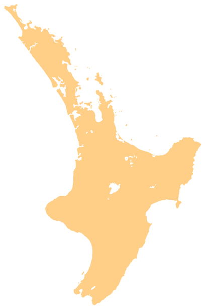
Mangatawhiri is a locality about 10 km north-east of Pokeno and 7 km west of Mangatangi in the Waikato District in the North Island of New Zealand.
Mangatawhiri | |
|---|---|
Locality | |
 Mangatawhiri | |
| Coordinates: 37.215°S 175.123°E | |
| Country | New Zealand |
| Region | Waikato |
| District | Waikato District |
| Elevation | 20 m (70 ft) |
| Population (2013 census) | |
| • Total | 117 |
| Time zone | UTC+12 (NZST) |
| • Summer (DST) | UTC+13 (NZDT) |
The Mangatawhiri area unit, which is much larger than the locality and includes Mangatangi, had a population of 1,533 at the 2013 New Zealand census, an increase of 153 people since the 2006 census. There were 825 males and 708 females.[1] 83.1% were European/Pākehā, 14.8% were Māori, 4.1% were Pacific peoples and 4.5% were Asian.[2] The locality is in meshblocks 0841700 and 0843401, which had a population of 117 people in 48 households in the census.[3]
The New Zealand Ministry for Culture and Heritage gives a translation of "tāwhiri tree stream" for Mangatāwhiri.[4]
The Mangatawhiri castle is a prominent building on Mangatawhiri Road which once housed the Castle Cafe but is now empty.[5]
Mangatawhiri River flows south from the Hunua Ranges through Mangatawhiri, and joins the Waikato River near Mercer.[6][7]
Education
Mangatawhiri School is a co-educational state full primary school covering years 1 to 8,[8] with a roll of 194 as of March 2020.[9] The school started in the Lyons Homestead in the 19th century, and was moved to McKenzie Road in 1925. In 1962 a new school was built on the same site, and it has since been expanded to seven classrooms.[10]
References
- 2013 Census QuickStats about a place : Mangatawhiri
- 2013 Census QuickStats about a place (Cultural diversity) : Mangatawhiri
- "2013 Census map – QuickStats about a place". archive.stats.govt.nz. Retrieved 31 August 2019.
- "1000 Māori place names". New Zealand Ministry for Culture and Heritage. 6 August 2019.
- Hubbard, Briar (12 May 2016). "Mangatawhiri castle on the market for first time in 26 years". Stuff.
- Peter Dowling (editor) (2004). Reed New Zealand Atlas. Reed Books. pp. map 14. ISBN 0-7900-0952-8.CS1 maint: extra text: authors list (link)
- Roger Smith, GeographX (2005). The Geographic Atlas of New Zealand. Robbie Burton. p. map 43. ISBN 1-877333-20-4.
- Education Counts: Mangatawhiri School
- "New Zealand Schools Directory". New Zealand Ministry of Education. Retrieved 26 April 2020.
- "Our Story". Mangatawhiri School. Retrieved 8 September 2019.