Mangatangi
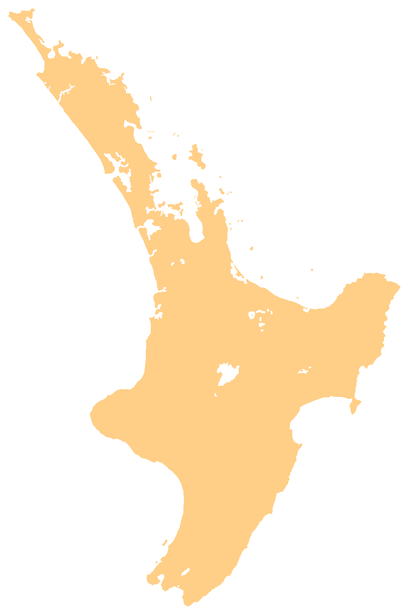
Mangatangi is a locality about 7 km east of Mangatawhiri and 10.5 km west of Miranda in the Waikato District in the North Island of New Zealand.
Mangatangi | |
|---|---|
Locality | |
 Mangatangi | |
| Coordinates: 37.201°S 175.199°E | |
| Country | New Zealand |
| Region | Waikato |
| District | Waikato District |
| Elevation | 60 m (200 ft) |
| Population (2013 census) | |
| • Total | 333 |
| Time zone | UTC+12 (NZST) |
| • Summer (DST) | UTC+13 (NZDT) |
Mangatangi is in meshblocks 0841200 (NW), 0841300 (NE) and 0932801 (S), which had a combined population of 333 people in 120 households in the 2013 New Zealand census.[1]
Mangatangi Reservoir in the Hunua Ranges to the north was created by the Mangatangi Dam, a rolled earth water supply dam built in the 1970s.[2] The Mangatangi River flows south from the reservoir to become the Maramarua River.
The New Zealand Ministry for Culture and Heritage gives a translation of "Stream of Weeping" for Mangatangi.[3]
The Mangatangi Hall on Kaiaua Road was opened in 1940 and extended in 1960. It contains the Mangatangi-Miranda roll of honour for local people who fought in the Second World War.[4]
Education
Mangatangi School is a co-educational state full primary school covering years 1 to 8,[5] with a roll of 96 as of March 2020.[6] The school opened in 1919.[7]
References
- "2013 Census map – QuickStats about a place". archive.stats.govt.nz. Retrieved 31 August 2019.
- "Mangatangi Dam". Engineering New Zealand. Retrieved 31 August 2019.
- "1000 Māori place names". New Zealand Ministry for Culture and Heritage. 6 August 2019.
- "Mangatangi-Miranda roll of honour". New Zealand Ministry for Culture and Heritage. 30 April 2014.
- Education Counts: Mangatangi School
- "New Zealand Schools Directory". New Zealand Ministry of Education. Retrieved 26 April 2020.
- "About Us - History". Mangatangi School. Retrieved 31 August 2019.