Madhira
Madhira is a municipality in Khammam district of the Indian state of Telangana. It is in Madhira mandal of Khammam division.[1]It is located about 230 kilometres (143 mi) east of the state capital, Hyderabad, 53 kilometers (34 mi) from Khammam, 130 kilomkilometresmi) from bhadrachalam and also it is located about 77 kilometers (48 mi) North of the Andhra Pradesh state capital, Amaravathi.
Madhira Madhira | |
|---|---|
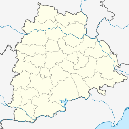 Madhira Location in Telangana, India  Madhira Madhira (India) | |
| Coordinates: 16.9167°N 80.3667°E | |
| Country | India |
| State | Telangana |
| District | Khammam |
| Government | |
| • Body | [Nagara Panchayat] |
| Area | |
| • Total | 2.50 km2 (0.97 sq mi) |
| Elevation | 38 m (125 ft) |
| Population (2019)[1] | |
| • Total | 32,516 |
| • Density | 13,000/km2 (34,000/sq mi) |
| Languages | |
| • Official | Telugu,English |
| Time zone | UTC+5:30 (IST) |
| Telephone code | +91-8749 |
| Vehicle registration | TS04 |
| Website | telangana |
Geography
Madira is located at 16.9167°N 80.3667°E.[2] It has an average elevation of 38 meters (127 ft). It is surrounded by Andhra Pradesh state on three sides and Khammam district on one side.
Nearest Cities
- Khammam-55 km,
- Vijayawada-77 km,
- Suryapet-96 km,
- Rajamahendravaram-160 km,
- Hyderabad-230 km.
gollark: So what?
gollark: Half the uses of PHP can just be replaced with a static site generator, too.
gollark: If there are passwords distributed in software given to users - and they're important - they will be found.
gollark: Security through obscurity does not work.
gollark: ... What?!
References
- "District Census Handbook – Khammam" (PDF). Census of India. The Registrar General & Census Commissioner. pp. 14, 46. Retrieved 1 June 2016.
- Madira at Fallingrain.com
This article is issued from Wikipedia. The text is licensed under Creative Commons - Attribution - Sharealike. Additional terms may apply for the media files.