Machaneng Airport
Machaneng Airport (ICAO: FBMG) is a military airstrip on the northeast side of Machaneng, a town in the Central District of Botswana. The runway is 11 kilometres (6.8 mi) west of the Limpopo River, locally Botswana's border with South Africa.
Machaneng Airport | |||||||||||
|---|---|---|---|---|---|---|---|---|---|---|---|
| Summary | |||||||||||
| Airport type | Military | ||||||||||
| Serves | Machaneng, Botswana | ||||||||||
| Elevation AMSL | 2,900 ft / 884 m | ||||||||||
| Coordinates | 23°11′05″S 27°30′00″E | ||||||||||
| Map | |||||||||||
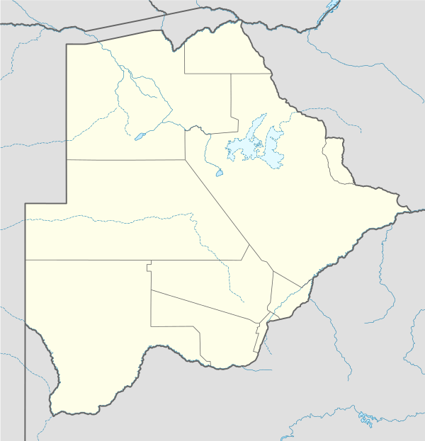 FBMG Location of Machaneng Airport in Botswana | |||||||||||
| Runways | |||||||||||
| |||||||||||
See also

- Transport in Botswana
- List of airports in Botswana
References
- Airport record for Machaneng Airport at Landings.com. Retrieved 2013-09-02
- Google (2013-09-02). "location of Machaneng Airport" (Map). Google Maps. Google. Retrieved 2013-09-02.
- Airport information for Machaneng Airport at Great Circle Mapper.
External links
- OpenStreetMap - Machaneng
- OurAirports - Machaneng
- Fallingrain - Machaneng Airport
- Accident history for Machaneng Airport at Aviation Safety Network
This article is issued from Wikipedia. The text is licensed under Creative Commons - Attribution - Sharealike. Additional terms may apply for the media files.