Mücheln
![]()
Mücheln | |
|---|---|
 Coat of arms | |
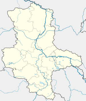
Location of Mücheln within Saalekreis district _in_SK.png) | |
 Mücheln  Mücheln | |
| Coordinates: 51°18′0″N 11°48′0″E | |
| Country | Germany |
| State | Saxony-Anhalt |
| District | Saalekreis |
| Subdivisions | 12 |
| Government | |
| • Mayor | Andreas Marggraf |
| Area | |
| • Total | 98.6 km2 (38.1 sq mi) |
| Elevation | 164 m (538 ft) |
| Population (2018-12-31)[1] | |
| • Total | 8,681 |
| • Density | 88/km2 (230/sq mi) |
| Time zone | CET/CEST (UTC+1/+2) |
| Postal codes | 06249, 06255, 06268, 06632 |
| Dialling codes | 034632, 034633, 034636 |
| Vehicle registration | SK |
| Website | www.muecheln.de |
Location
Mücheln (Geiseltal) is situated approximately 15 km west of Merseburg and borders Lake Geiseltal to the southwest, west, and northwest.
History
First documented evidence of a settlement is in the Hersfeld Abbey tithe register, which was written between 881 und 899. Mücheln (Geiseltal) is included under the name Muchilacha, Mücheln Castle as Muchileburg.[2]
Mücheln (Geiseltal) was awarded town privileges in 1350.
The official name of the town was changed from Mücheln to Mücheln (Geiseltal) in 1936.
Politics
In the run-off election on November 27, 2011, Andreas Marggraf defeated his opponent Steffen Keller with 72.34% of the votes. Marggraf was inaugurated on January 1, 2012.
gollark: Ah...
gollark: It is actually important.
gollark: You mean document.* and HTML element calls or a library?
gollark: Okaaaay.
gollark: JS *and* HTML or an odd thing?
References
- "Bevölkerung der Gemeinden – Stand: 31. Dezember 2018" (PDF). Statistisches Landesamt Sachsen-Anhalt (in German).
- Reg. Thur. No. 287
This article is issued from Wikipedia. The text is licensed under Creative Commons - Attribution - Sharealike. Additional terms may apply for the media files.