Mölltaler Polinik
The Mölltaler Polinik, at 2,784 m (9,134 ft), is the highest mountain of the Kreuzeck group, a southern part of the High Tauern range in the Austrian state of Carinthia.
| Mölltaler Polinik | |
|---|---|
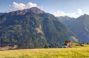 View from north | |
| Highest point | |
| Elevation | 2,784 m (AA) (9,134 ft) |
| Prominence | 1,579 m ↓ Iselsberg Pass |
| Isolation | 10.4 km → Böseck |
| Listing | Ultra |
| Coordinates | 46°53′46″N 13°09′24″E |
| Geography | |
 Mölltaler Polinik Austria | |
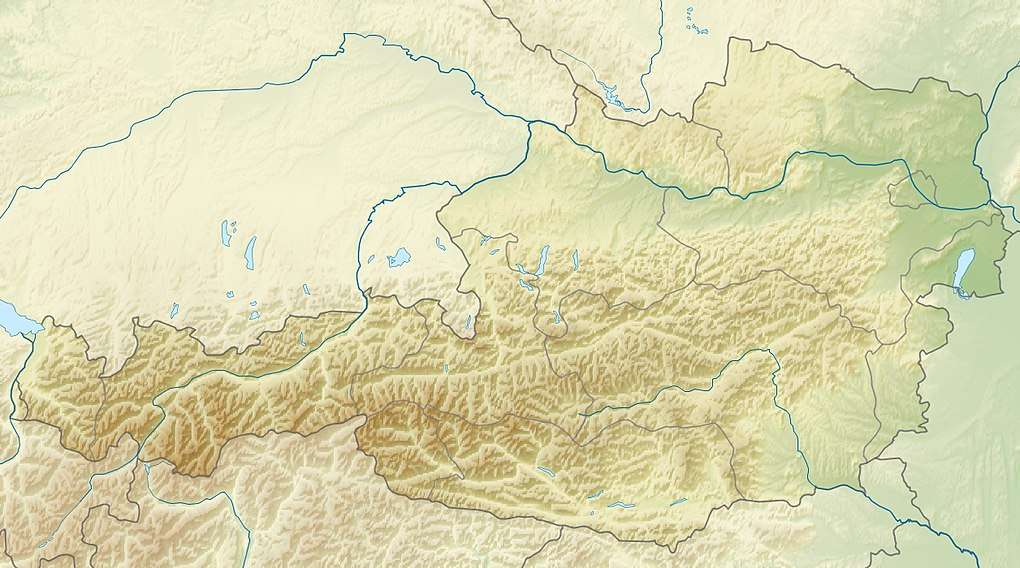
| Location | Carinthia, Austria |
| Parent range | High Tauern Kreuzeck group |
Geography
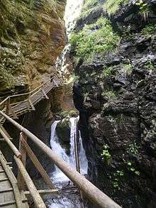
Ragga Ravine
The peak rises south of the villages of Flattach and Obervellach in the Möll Valley. From Obervellach a footpath leads past the Polinikhaus lodge (1,873 m (6,145 ft), run by Mölltal Section of the Austrian Alpine Club) to the summit.
From Flattach the mountain may be climbed through the 200 m (660 ft) deep Ragga Ravine (Raggaschlucht), a protected natural monument, where a winding boardwalk leads across numerous waterfalls up to the Raggaalm pasture.
gollark: But I mean globally unique street names in Switchcraft.
gollark: Yes, the openstreetmaps page says so.
gollark: > what3words is a commercial, non-open, patented location reference schema. Open data advocates (such as the OpenStreetMap community) would generally advise against adopting it at all.I see.
gollark: What's wrong with them?
gollark: We should have globally unique street names.
See also
Literature
- Manfred Posch: Reißeck, Kreuzeck. Die schönsten Touren, Klagenfurt, 2000, Kärntner Druck- und Verlagsgesellschaft m.b.H., ISBN 3-85391-176-5
This article is issued from Wikipedia. The text is licensed under Creative Commons - Attribution - Sharealike. Additional terms may apply for the media files.