Lužec nad Cidlinou
Lužec nad Cidlinou is a village in the Hradec Králové District of the Czech Republic. The official name of the village is Lužec nad Cidlinou, but it is mostly just simply referred to as Lužec. There is another "Lužec" in the Mělník District named Lužec nad Vltavou but it rarely causes any confusion.
Lužec nad Cidlinou | |
|---|---|
Village | |
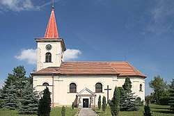
 Saint George's church, Lužec nad Cidlinou | |
 Flag  Coat of arms | |
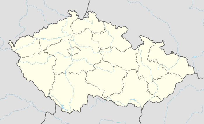
 Lužec nad Cidlinou Location in the Czech Republic | |
| Coordinates: 50°12′39″N 15°24′56″E | |
| Country | Czech Republic |
| Region | Hradec Králové |
| District | Hradec Králové |
| First mentioned | 1325 |
| Government | |
| • Mayor | Jaroslav Bareš |
| Area | |
| • Total | 11.7 km2 (4.5 sq mi) |
| Elevation | 229 m (751 ft) |
| Population (2006-07-03) | |
| • Total | 478 |
| • Density | 41/km2 (110/sq mi) |
| Time zone | UTC+1 (CET) |
| • Summer (DST) | UTC+2 (CEST) |
| Postal code | 503 62 |
| Website | sweb.cz/luzecnadcidlinou |
There is an army radar type RAT 31-DL located between the villages of Lužec, Nepolisy and Lišice. It is a part of NATO's aerial defense system NATINADS.
Memorial sites
- Church of St George, built in 1872
- Memorial of soldiers from the village who died in the first world war, built in 1928
- Memorial of Jan Hus, built in 1931
- Chapel of Virgin Mary
- Statue of Leonard of Noblac, which originally stood in the monastery garden of Loret in Chlumec nad Cidlinou
gollark: > If someone requests that you stop a NSFW discussion, do so.
gollark: I have 0.1 banano. I think I'm now rich?!?!?!?!?!
gollark: I used to have one, but it broke.
gollark: I run my DNS queries through dnscrypt-proxy.
gollark: It's probably someone blocking it.
This article is issued from Wikipedia. The text is licensed under Creative Commons - Attribution - Sharealike. Additional terms may apply for the media files.