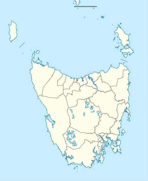
Lower Turners Marsh, Tasmania
Lower Turners Marsh is a rural locality in the local government areas of Launceston and George Town in the Launceston and North-east regions of Tasmania. It is located about 34 kilometres (21 mi) south-east of the town of George Town. The 2016 census determined a population of 37 for the state suburb of Lower Turners Marsh.[1]
| Lower Turners Marsh Tasmania | |||||||||||||||
|---|---|---|---|---|---|---|---|---|---|---|---|---|---|---|---|
 Lower Turners Marsh | |||||||||||||||
| Coordinates | 41°12′36″S 147°06′21″E | ||||||||||||||
| Population | 37 (2016)[1] | ||||||||||||||
| Postcode(s) | 7267 | ||||||||||||||
| Location | 34 km (21 mi) SE of George Town | ||||||||||||||
| LGA(s) | Launceston, George Town | ||||||||||||||
| Region | Launceston, North-east | ||||||||||||||
| State electorate(s) | Bass | ||||||||||||||
| Federal Division(s) | Bass | ||||||||||||||
| |||||||||||||||
History
Lower Turners Marsh was gazetted as a locality in 1964.[2]
Geography
Pipers River forms a small section of the eastern boundary.[3]
Road infrastructure
Route B83 (Pipers River Road) passes through from south-east to north. The C811 route (Bangor Road) starts at an intersection with B83 and exits to the east. The C812 route (Old Bangor Tram Road) starts at an intersection with B83 and runs west through the locality before exiting.[2][4]
gollark: Oh, *or* ones with lots of spaces.
gollark: If DC gets popular enough, and/or people just continue playing, eventually all good names will be gone and we'll have to either have stupidly long ones, unpronounceable strings of letters, or meaningless sequences of words.
gollark: Hellohi!
gollark: You can use Ikea product names if you want a good source of vaguely human-sounding ones.
gollark: I go around considering the ethics of DC for immersion, mostly, but whatever.
References
- "2016 Census Quick Stats Lower Turners Marsh (Tas.)". quickstats.censusdata.abs.gov.au. Australian Bureau of Statistics. 23 October 2017. Retrieved 28 May 2020.
- "Placenames Tasmania – Lower Turners Marsh". Placenames Tasmania. Retrieved 28 May 2020.
Select “Search”, enter 443E, click “Search”, select row, map is displayed, click “Details”
- Google (28 May 2020). "Lower Turners Marsh, Tasmania" (Map). Google Maps. Google. Retrieved 28 May 2020.
- "Tasmanian Road Route Codes" (PDF). Department of Primary Industries, Parks, Water & Environment. May 2017. Archived from the original (PDF) on 1 August 2017. Retrieved 18 May 2020.
This article is issued from Wikipedia. The text is licensed under Creative Commons - Attribution - Sharealike. Additional terms may apply for the media files.