Lower Bodinnar
Lower Bodinnar is a hamlet in the parish of Sancreed (where the 2011 census population was included.), Cornwall, England, UK.[1][2] Lower Bodinnar is approximately 2 miles (3.2 km) north-west of Penzance.[3]
| Lower Bodinnar | |
|---|---|
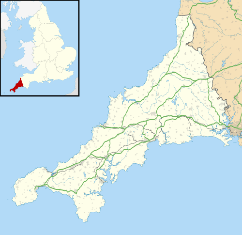 Lower Bodinnar Location within Cornwall | |
| OS grid reference | SW421320 |
| Civil parish | |
| Unitary authority | |
| Ceremonial county | |
| Region | |
| Country | England |
| Sovereign state | United Kingdom |
| Post town | Penzance |
| Postcode district | TR20 |
References
- Ordnance Survey: Landranger map sheet 203 Land's End & Isles of Scilly (St Ives & Lizard Point) (Map). Ordnance Survey. 2009. ISBN 978-0-319-23289-7.
- "Ordnance Survey Election Maps". data.ordnancesurvey.co.uk. Ordnance Survey. Archived from the original on 20 February 2016. Retrieved 30 January 2016.
- "GENUKI: How far is it from SW421320?". www.genuki.org.uk. GENUKI. Retrieved 30 January 2016.
Cornwall Portal | |
| Unitary authorities | |
| Major settlements |
|
| Rivers | |
| Topics | |
This article is issued from Wikipedia. The text is licensed under Creative Commons - Attribution - Sharealike. Additional terms may apply for the media files.