Lough Nacung Upper
Lough Nacung Upper (Irish: Loch na Cuinge Uachtarach meaning 'Upper Narrowness lake') is a lake in County Donegal, Ireland. It connects Lough Dunlewey to Lough Nacung Lower, which drains into the Clady River.[1] Lough Nacung is a Special Area of Conservation.[2]
| Lough Nacung Upper | |
|---|---|
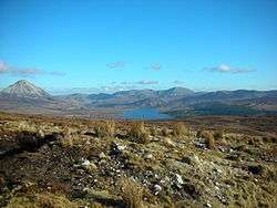 View towards Lough Nacung Upper, with Errigal to the left. | |
 Lough Nacung Upper | |
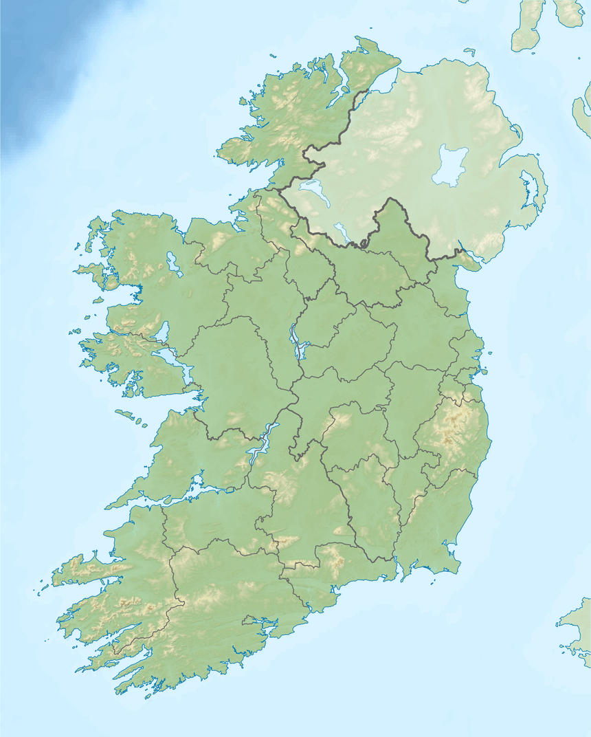
| Location | County Donegal, Ireland |
| Coordinates | 55.031956°N 8.166305°W |
| Lake type | natural freshwater lake |
| Native name | Loch na Cuinge Uachtarach (Irish) |
| Primary inflows | Lough Dunlewey |
| Primary outflows | Lough Nacung Lower, to Clady River |
| Basin countries | Ireland |
| Max. length | 2.72 miles (4.38 km) |
| Max. width | 0.38 miles (0.61 km) |
| Surface area | 2.1 km2 (0.81 sq mi) |
| Surface elevation | 57 m (187 ft) |
The name is derived from the Irish cuing, meaning "narrow neck of land (as between two lakes)."[3][4]
Wildlife
The main fish species are sea trout and salmon.[5][6]
gollark: Another idea: running surveys to get people's views on the trading value of things.
gollark: I'm used to about half of the names I want being taken, soo...
gollark: Fansite idea: a thing to check whether a name is free and if not generate alternatives.
gollark: Well, *was*.
gollark: As a name.
See also
- List of loughs in Ireland
References
- Administrator. "Lough Nacung Upper (IRL)". Archived from the original on 2016-03-04. Retrieved 2015-12-29.
- http://www.npws.ie/sites/default/files/protected-sites/conservation_objectives/CO000140.pdf
- http://www.logainm.ie/en/1396517
- http://www.teanglann.ie/en/fgb/cuing
- "Lough Nacung Lough Lacung Upper And Dunlewy Lake - Activities - Angling - Fisheries - All Ireland - Republic of Ireland - Donegal - Dunlewy - Discover Ireland".
- "Lough Nacung Upper, Donegal, Ireland Fishing Lake Maps - MyFishMaps.com".
This article is issued from Wikipedia. The text is licensed under Creative Commons - Attribution - Sharealike. Additional terms may apply for the media files.