List of rivers of the Federated States of Micronesia
This is a list of the rivers of the Federated States of Micronesia, arranged by State:
Chuuk
- Wichen
Kosrae
- Infal Mutunte
- Infal Yekula
- Infal Sialat
- Infal Innem
- Infal Sunganspaul
- Infal Tofol
- Infal Kaa
- Infal Tafuyat
- Infal Pilyuul
- Infal Malem
- Infal Yeseng
- Infal Finkol
- Infal Palusrik
- Infal Menka
- Infal Utwa
- Infal Isra
- Infal Falwe
- Infal Yemulil
- Infal Lukunlulem
- Infal Panyea
- Infal Mwot
- Infal Lenwot
- Infal Saksro
- Infal Wiyu
- Infal Yela
- Infal Las
- Infal Okat
- Infal Melo
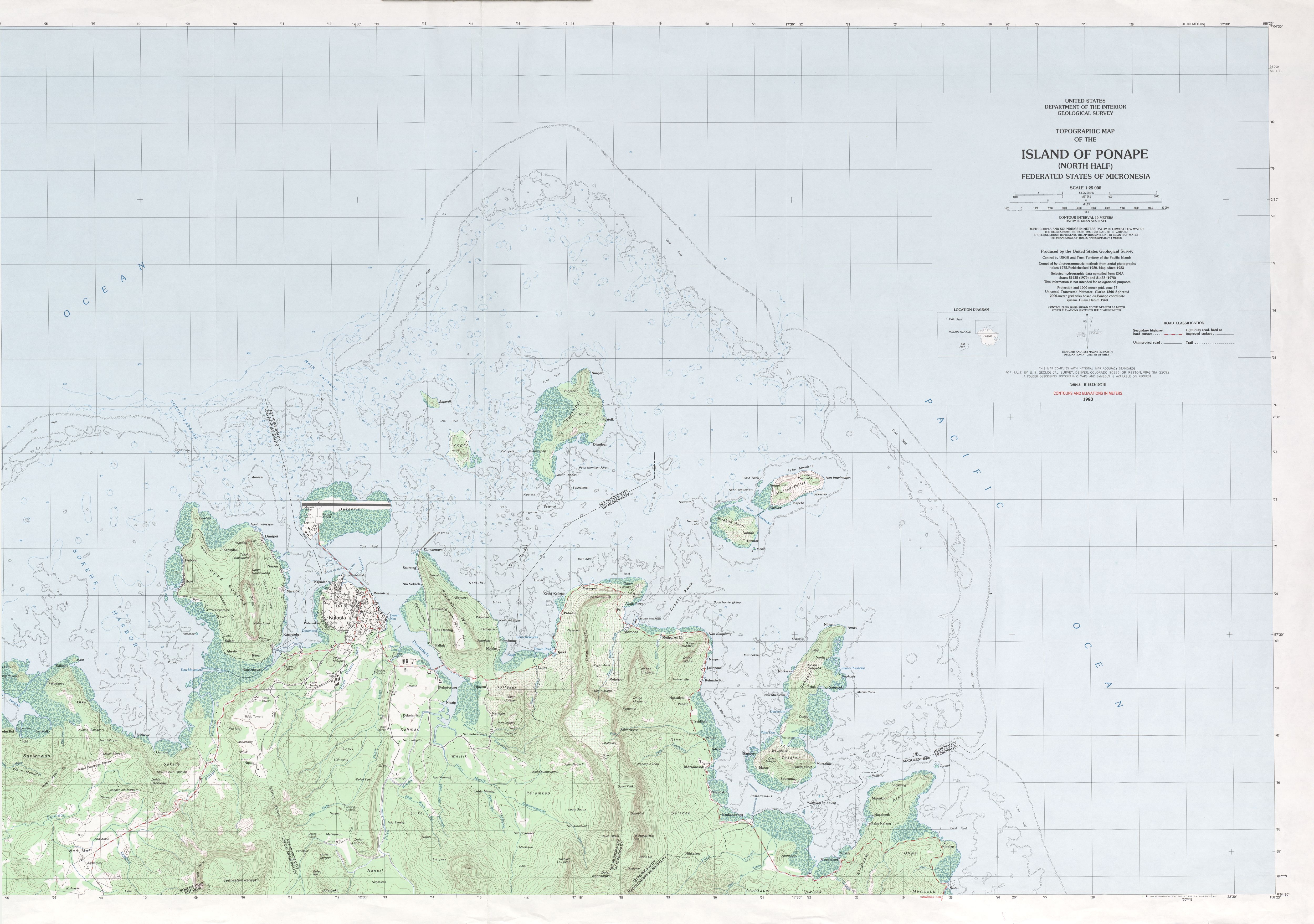
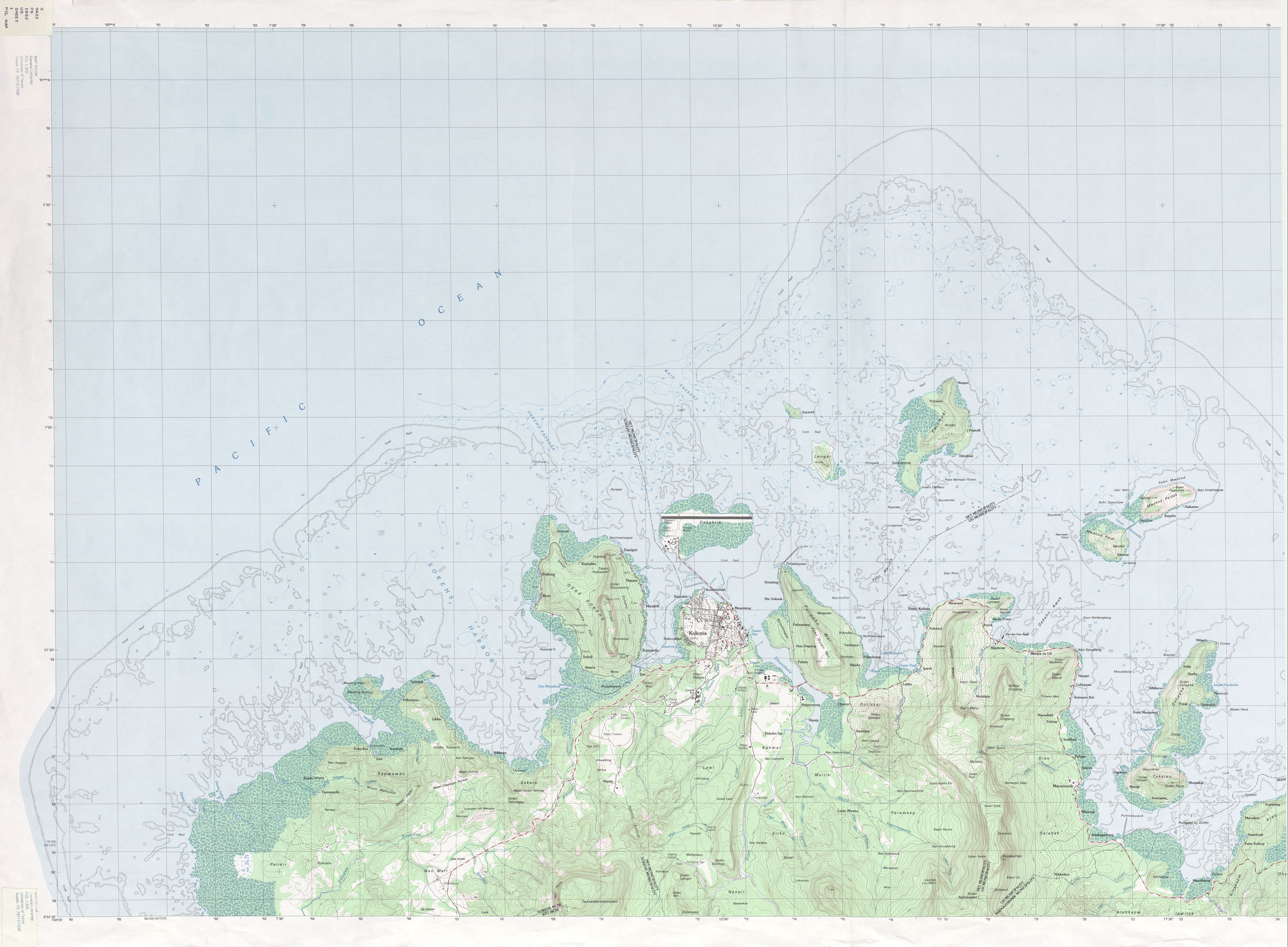
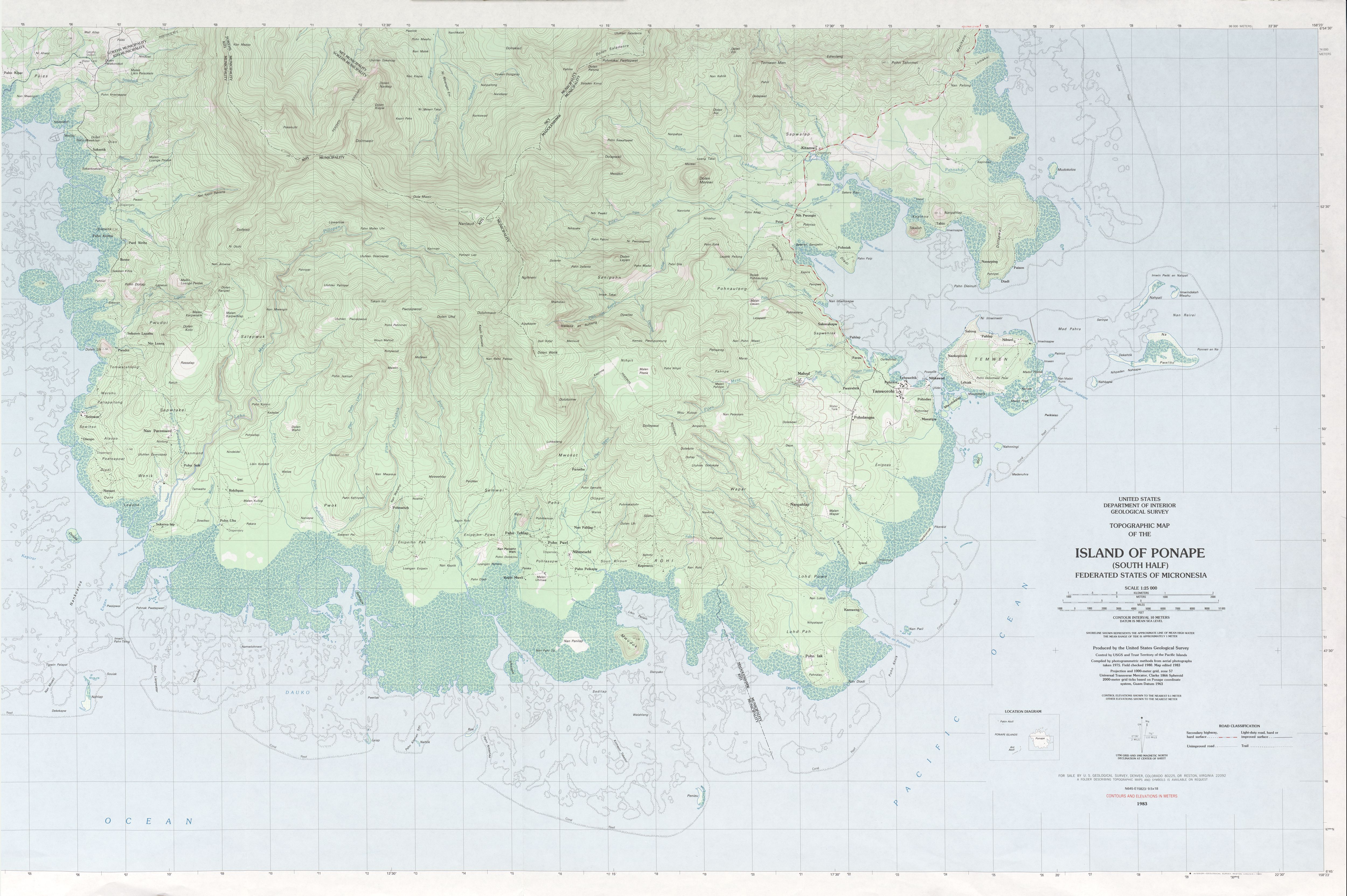
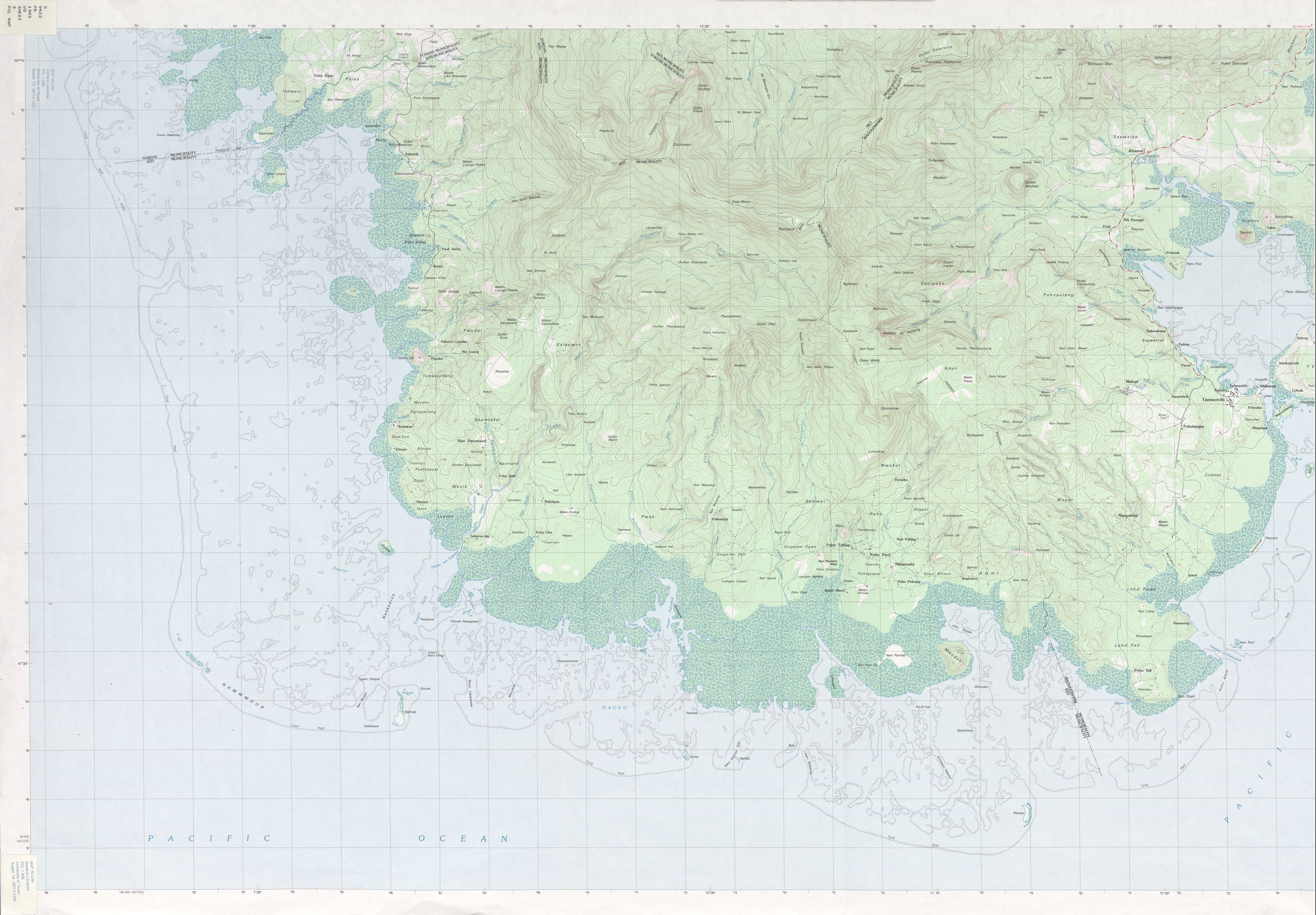
Pohnpei
- Pilan Dauen Neu
- Pilan Lewi
- Pilan Kiepw
- Pilan Meitik
- Pilan Sepeipei
- Pilan Luhke
- Pilan Kepin Awak
- Pilan Pweikamw
- Pilan Tuweri
- Pilan Ohwa
- Pilan Semwei
- Pilan Pahnahdo
- Pilan Pwadapwad
- Pilan Kitamw
- Pilan Lehdau
- Pilan nan Kerepene
- Pilan nan Riohk
- Pilan en Senipehn
- Pilan Nankep
- Pilan en Mahud
- Pilan Mese
- Pilan Kihlid
- Pilan en Lohd
- Pilan Neh
- Pilan Nanwou
- Pilan Semwei
- Pilan Kidar
- Oalos River
- Pilen Sapwtakai
- Pilen Pahnihwi
- Pilen Pohnahtik
- Pilen Mwahi
- Lehn Diepei
- Pilen Pwadapwad
- Lehn Mesi
- Pillapen Kiti
- Pilen Koamoahd
- Pilen Nan Lapahu
- Pillapen Pehleng
- Pilen Sakartik
- Pilapen Seniahdak
- Pillapen Soundau
- Kiriedleng
- Pillapen Kepin Lahpar
- Pilen Kerir
- Pillapen Nankewi
gollark: I'm considering somehow coordinating it with the *other* reactor which burns TBU oxide.
gollark: Otherwise it turns off.
gollark: Basically, the top one transmits the powercell's fullness level (obtained via a computercraft thing since comparators appear to not work) and the bottom one receives that, reads the reactor's buffer level (it was meant to be heat but somehow I just get the RF output buffer level), and if the powercell is below full and the buffer empty it turns the reactor on.
gollark: Some screenshots of the controllers.
gollark: TIS-100 is a weird massively-parallel architecture of nodes running simple assembly programs communicating with each other.
References
- GEOnet Names Server
- USGS Topographic Map of Kosrae
- USGS Topographic Maps of Pohnpei , , ,
This article is issued from Wikipedia. The text is licensed under Creative Commons - Attribution - Sharealike. Additional terms may apply for the media files.