List of crossings of Four Mile Run
This is a complete list of current bridges and other crossings of Four Mile Run from its mouth at the Potomac River to its source.
Crossings
All locations are in Virginia. Pedestrian-only bridges are marked in italics.
| Image | Crossing | Opened | Coordinates | Notes |
|---|---|---|---|---|
| Arlington–Alexandria | ||||
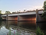
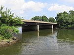 |
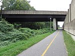
George Washington Memorial Parkway / Mount Vernon Trail | 1980[1] | 38.8410°N 77.0479°W | |
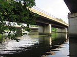 |
WMATA Yellow and Blue Lines | 1983 | 38.8409°N 77.0485°W | |
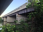 |
CSX Transportation RF&P Subdivision | 1980[1] | 38.8409°N 77.0488°W | Originally Potomac Yard rail bridge |
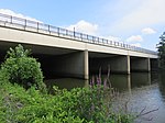 |
Potomac Avenue | 1980[1] | 38.8408°N 77.0493°W | Originally Potomac Yard rail bridge |
 |
Short Bridge Park (disused) | 1980[1] | 38.8408°N 77.0504°W | Originally Potomac Yard rail bridge |
 |
demolished rail bridge | 1980[1] | 38.8407°N 77.0516°W | Originally Potomac Yard rail bridge; demolished in 2013[2] |
 |
Short Bridge Park footbridge | 1980[1] | 38.8407°N 77.0521°W | Originally Potomac Yard rail bridge |
 |
1980[1] | 38.8407°N 77.0524°W | ||
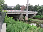 |
Mt. Vernon Avenue | 38.8446°N 77.0647°W | ||
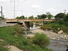 |
W. Glebe Road | ~1956[3] | 38.8436°N 77.0772°W | |
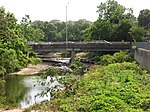
 |
38.8431°N 77.0825°W | |||
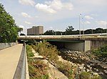
 |
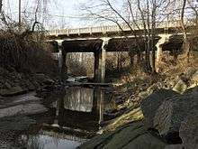
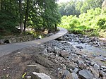
Shirlington Road | 1973[4] | 38.8432°N 77.0857°W | |
| Arlington | ||||
 |
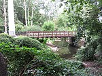
Jennie Dean Park footbridge | |||
 |
S. Walter Reed Drive | Former bridge destroyed by Hurricane Agnes in 1972[5] | ||
 |
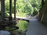
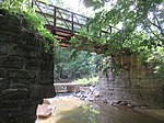
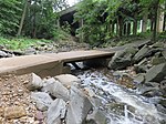
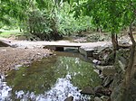
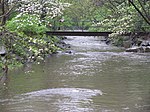
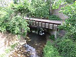
Barcroft Park footbridge | |||
.jpg) |
Barcroft Park footbridge | |||
 |
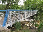
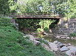
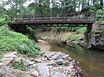
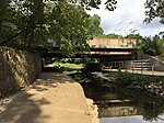
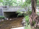
S. George Mason Drive | 1966[6] or 1974[7] | ||
 |
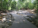
Four Mile Run Trail | |||
 |
1941[8] | |||
 |
Four Mile Run Trail | |||
 |
Four Mile Run Trail | |||
 |
Four Mile Run Trail | |||
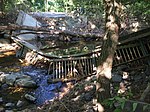 |
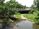
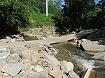
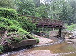
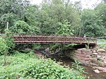
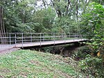
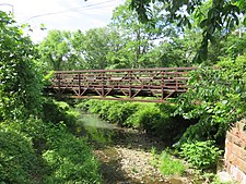
Glencarlyn Park footbridge | Destroyed in flood in July 2019[9][10] | ||
 |
Glencarlyn Park footbridge | Destroyed in flood in July 2019[9][10] | ||
 |
Four Mile Run Trail | |||
 |
Washington & Old Dominion Trail | |||
 |
Washington & Old Dominion Trail | |||
 |
Washington & Old Dominion Trail | |||
 |
||||
 |
footbridge to N. Greenbrier Street | |||
 |
Washington & Old Dominion Trail | |||
 |
N. Carlin Springs Road | |||
 |
Bluemont Park footbridge | |||
 |
Bluemont Park footbridge | |||
 |
Bluemont Junction Trail | |||
 |
Washington & Old Dominion Trail | |||
 |
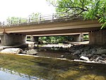
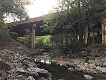
Wilson Boulevard | 1994[11] | ||
 |
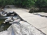
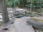
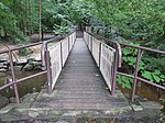
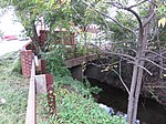
Bon Air Park footbridge | Destroyed in flood in July 2019[9][10] | ||
 |
Washington & Old Dominion Trail | |||
 |
Patrick Henry Drive | |||
 |
footbridge to N. Montana Street | |||
 |
N. Ohio Street | |||
 |
Four Mile Run Trail | |||
 |
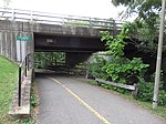
Washington & Old Dominion Trail |
Culvert crosses W&OD Trail, but enters and exits on same side of Interstate 66 | ||
 |
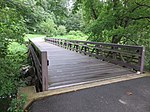
East Falls Church Park footbridge | 2012[12] | Replaced older bridge slightly downstream[12] | |
 |
N. Sycamore Street | 1971[13] | ||
 |
Washington & Old Dominion Trail | |||
| Falls Church | ||||
 |
N. Van Buren Street | 2018 | Replaced older bridge[14] | |
 |
||||
| Arlington–Falls Church | ||||
 |
Driveway to Arlington Fire Station 6 | |||
| Arlington | ||||
 |
Washington & Old Dominion Trail | |||
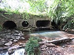 |
Little Falls Road / 26th Street N / Fairfax Drive | Culvert under residential neigborhood | ||
 |
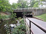
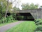
WMATA Orange, Blue, and Silver Lines Williamsburg Boulevard |
Culvert under freeway | ||
| Fairfax County | ||||
 |
Gordon Avenue | |||
gollark: PotatOS uses a combination of third person, avoiding grammar which would cause me to pick a person (so many participles) and second person.
gollark: You were declared one some months ago.
gollark: It IS IDIOMATIC, apiohazard.
gollark: <:emoji_18:728195175251181669> <:emoji_18:728195175251181669> <:emoji_18:728195175251181669> <:emoji_18:728195175251181669>
gollark: That is HIGHLY idiomatic.
References
- Hodge, Paul (January 24, 1980). "Seven Bridges Span Four Mile Run Flood-Control Project and Bicycle Trail". Washington Post. ISSN 0190-8286. Retrieved June 16, 2020.
- "Demolition to Begin on Four Mile Run Bridge". ARLnow.com - Arlington, Va. Local News. July 22, 2013. Retrieved June 16, 2020.
- "Arlington County Issues Bridge Restrictions on West Glebe Road". Newsroom. Retrieved June 16, 2020.
- "SHIRLINGTON RD. over FOUR MILE RUN Arlington County, Virginia Bridge Inspection Report". Pensacola News Journal. Retrieved August 7, 2020.
- "Stormwater Management Overview" (PDF). Arlington County. August 18, 2019. p. 6. Retrieved June 20, 2020.
- "EBL S. G. MASON DR over FOUR MILE RUN Arlington County, Virginia Bridge Inspection Report". Pensacola News Journal. Retrieved August 7, 2020.
- "Columbia Forest History". Columbia Forest Civic Association. September 21, 2016. Retrieved June 16, 2020.
- "COLUMBIA PIKE over FOUR MILE RUN Arlington County, Virginia Bridge Inspection Report". Pensacola News Journal. Retrieved August 7, 2020.
- "July 8 Storm Update". Parks & Recreation. August 5, 2019. Retrieved June 20, 2020.
- "Arlington Estimates $3.5 Million in Flood Damage to County Property". ARLnow. July 9, 2019. Retrieved June 20, 2020.
- "WILSON BLVD. over FOUR MILE RUN Arlington County, Virginia Bridge Inspection Report". Pensacola News Journal. Retrieved August 7, 2020.
- Offutt, Steve (January 17, 2012). "Four Mile Run getting new pedestrian and bike bridge". Greater Greater Washington. Retrieved June 16, 2020.
- "SBL N. SYCAMORE ST over FOUR MILE RUN Arlington County, Virginia Bridge Inspection Report". Pensacola News Journal. Retrieved August 7, 2020.
- "Van Buren Bridge Replacement". Fort Myer Construction. Retrieved August 7, 2020.
This article is issued from Wikipedia. The text is licensed under Creative Commons - Attribution - Sharealike. Additional terms may apply for the media files.