Lisduff, County Cork
Lisduff (Irish: Lios Dubh, meaning "black fort") is a townland in County Cork, Ireland. Historical records list Lisduffe from the Down Survey dated 1655.[1][2] The Record of Monuments and Places contains two entries in the Lisduff area; a millstone and a ringfort.[3]
Lisduff An Lios Dubh | |
|---|---|
Townland | |
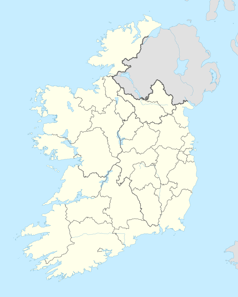 Lisduff Location in Ireland | |
| Coordinates: 51°33′40″N 08°55′57″W | |
| Country | Ireland |
| Province | Munster |
| County | County Cork |
| Time zone | UTC+0 (WET) |
| • Summer (DST) | UTC-1 (IST (WEST)) |
Ringfort
The ringfort is described as a circular area approximately 34 meters in diameter defined by a 1.7 meter scarp with the interior rising towards centre.[4] Damage to the southwest portion can be viewed from satellite imagery.[5]
gollark: no.
gollark: Oh dear.
gollark: Obviously to encourage independent study.
gollark: Revenant product industry.
gollark: Retail price index.
References
- "Placenames Database of Ireland". Retrieved 3 October 2014.
- "Maps of Lisduff (select map series)". Ordnance Survey of Ireland. Archived from the original on 13 February 2011. Retrieved 3 October 2014.
- "Recorded monuments, County Cork, Volume 2, Duchas, National Monuments and Historic Properties Service, 1998" (PDF). Duchas, National Monuments and Historic Properties Service. Archived from the original (PDF) on 6 October 2014. Retrieved 3 October 2014.
- "Archeological Survey of Ireland Database". National Monuments Service. Archived from the original on 4 September 2014. Retrieved 3 October 2014.
- "Latitude=51.557793, Longitude=-8.930528". Google Maps. Retrieved 6 October 2014.
This article is issued from Wikipedia. The text is licensed under Creative Commons - Attribution - Sharealike. Additional terms may apply for the media files.