Lida Junction Airport
Lida Junction Airport (FAA LID: 0L4) is a public use airport located 14 nautical miles (16 mi, 26 km) south of the central business district of Goldfield, in Esmeralda County, Nevada, United States.[1] The airport is owned by the United States Bureau of Land Management.[1]
Lida Junction Airport | |||||||||||
|---|---|---|---|---|---|---|---|---|---|---|---|
| Summary | |||||||||||
| Airport type | Public | ||||||||||
| Owner | United States Bureau of Land Management | ||||||||||
| Serves | Goldfield, Nevada | ||||||||||
| Elevation AMSL | 4,684 ft / 1,428 m | ||||||||||
| Coordinates | 37°29′31″N 117°11′18″W | ||||||||||
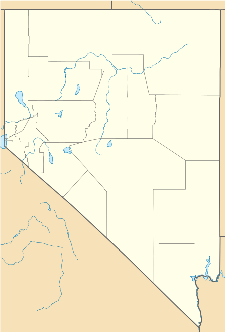
| Map | |||||||||||
 0L4 Location of airport in Nevada | |||||||||||
| Runways | |||||||||||
| |||||||||||
History
The runway was built to provide access to the Kit Cat Ranch.[2] It sits adjacent to the former Cottontail Ranch.[3]
Facilities
Lida Junction Airport covers an area of 168 acres (68 ha) at an elevation of 4,684 feet (1,428 m) above mean sea level. It has one runway designated 18/36 with a dirt surface measuring 6,100 by 80 feet (1,859 by 24 m).[1]
gollark: It's a display technology.
gollark: MY EYESMY EYES
gollark: It does seem vaguely worrying to me that people seem to treat it/other stuff being illegal as the default, natural state of things.
gollark: Probably. Governments just love illegalizing things for bad reasons.
gollark: Banning alcohol was tried and failed because of that. Banning weed... happened, seemingly hasn't prevented people getting/using it anyway (but resulted in loads of people pointlessly going to prison), and is beginning to be reverted.
References
- FAA Airport Master Record for 0L4 (Form 5010 PDF). Federal Aviation Administration. Effective May 31, 2012.
- "The Ultralight Trike Odyssey, Top to Bottom (Page 4)". Paul-Hamilton.com. Archived from the original on September 29, 2007.
- "Airport page". Cottontail Ranch. Archived from the original on April 5, 2004.
External links
- "Airport diagram from Nevada DOT (July 2007)" (PDF). Archived from the original on January 5, 2011. Retrieved August 6, 2010.CS1 maint: unfit url (link)
- Aerial image as of May 1994 from USGS The National Map
- Resources for this airport:
- FAA airport information for 0L4
- AirNav airport information for 0L4
- FlightAware airport information and live flight tracker
- SkyVector aeronautical chart for 0L4
This article is issued from Wikipedia. The text is licensed under Creative Commons - Attribution - Sharealike. Additional terms may apply for the media files.