Lauriston Airport
Lauriston Airport (IATA: CRU, ICAO: TGPZ) is an airport located west of Hillsborough, the main town on the island of Carriacou in Grenada.[1] It is also known as Carriacou Island Airport.[2]
Lauriston Airport | |||||||||||
|---|---|---|---|---|---|---|---|---|---|---|---|
| Summary | |||||||||||
| Airport type | Public | ||||||||||
| Operator | Grenada Airports Authority | ||||||||||
| Location | Hillsborough, Carriacou, Grenada | ||||||||||
| Elevation AMSL | 5 ft / 2 m | ||||||||||
| Coordinates | 12°28′37″N 061°28′20″W | ||||||||||
| Map | |||||||||||
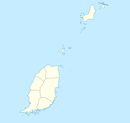 CRU Location in Grenada | |||||||||||
| Runways | |||||||||||
| |||||||||||
Source: Great Circle Mapper[1] | |||||||||||
Facilities
The airport resides at an elevation of 5 ft (2 m) above mean sea level. It has one runway which measures 800 m × 18 m (2,625 ft × 59 ft).[1]
Airlines and destinations
| Airlines | Destinations |
|---|---|
| SVG Air | Grenada, Union Island |
gollark: Well, the Swift 2 not very much annoyingly (a foolish decision), the Swift 1 was very repairable.
gollark: It's Apple's fault if they go to seemingly significant effort to make repair harder.
gollark: Some are ESPECIALLY bad.
gollark: Well, apple bad, some other brands also bad?
gollark: yes.
References
- Airport information for TGPZ at Great Circle Mapper. Source: Trinidad & Tobago CAA (AIP Eastern Caribbean), effective 5 July 2007.
- Accident history for CRU at Aviation Safety Network
This article is issued from Wikipedia. The text is licensed under Creative Commons - Attribution - Sharealike. Additional terms may apply for the media files.