Las Ánimas (volcano)
Las Ánimas is a volcano of the Central Ranges of the Colombian Andes at the border of the departments of Cauca and Nariño. The volcano is 4,175 metres (13,698 ft) high.[1]
| Las Ánimas | |
|---|---|
| Volcán Las Ánimas | |
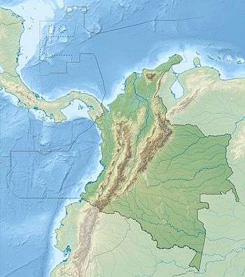
 Las Ánimas Location of Las Ánimas in Colombia | |
| Highest point | |
| Elevation | 4,175 m (13,698 ft) |
| Listing | Volcanoes of Colombia |
| Coordinates | 1°33′50.4″N 76°51′15.7″W |
| Geography | |
| Location | Cauca & Nariño |
| Parent range | Central Ranges, Andes |
| Geology | |
| Age of rock | Plio-Pleistocene |
| Volcanic belt | North Volcanic Zone Andean Volcanic Belt |
| Last eruption | Prehistoric |
As are the neighbouring Petacas, the volcano is part of the Doña Juana Volcanic Complex, and lies northeast of the main volcano and southeast of the Petacas. The products of the volcanic activity of the volcano have been found in San Pablo, Nariño. The activity of the volcano has been noted as prehistoric.[5]
The volcanoes are located between the El Tablón Fault to the west and the San Jerónimo Fault to the east.[6]
References
- Google Maps Elevation Finder
- Núñez Tello, 2003, p.217
- Plancha 411, 2002
Bibliography
- Navarro, Sofía; Bernardo Pulgarín; Maria Luisa Monsalve; Gloria Patricia Cortés; Marta Lucia Calvache; Natalia Pardo, and Hugo Murcia. 2009. Geología e historia eruptiva del Complejo Volcánico Doña Juana (CVDJ) Nariño. Boletín de Geología 31. 109–118. Accessed 2017-09-24.
- Núñez Tello, Alberto. 2003. Cartografía geológica de las zonas Andina Sur y Garzón-Quetame (Colombia) - Memoria explicativa de las planchas 411 La Cruz, 412 San Juan de Villalobos, 430 Mocoa, 431 Piamonte, 448 Monopamba, 449 Orito y 465 Churuyaco, 1–298. INGEOMINAS.
Maps
- Núñez, Alberto, and Jorge Gómez. 2002. Plancha 411 - La Cruz - 1:100,000, 1. INGEOMINAS. Accessed 2017-06-06.
This article is issued from Wikipedia. The text is licensed under Creative Commons - Attribution - Sharealike. Additional terms may apply for the media files.