Lamwo
Lamwo is a town in the Northern Region of Uganda and the political and administrative center of Lamwo District.
Lamwo | |
|---|---|
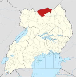
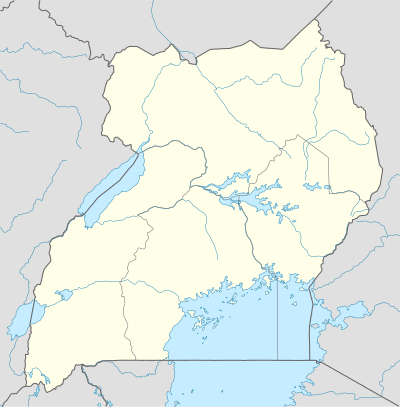 Lamwo Map of Uganda showing the location of Lamwo | |
| Coordinates: 03°31′48″N 32°48′00″E | |
| Country | |
| Region | Northern Region of Uganda |
| Sub-region | Acholi sub-region |
| District | Lamwo District |
| Elevation | 1,100 m (3,600 ft) |
| Time zone | UTC+3 (EAT) |
Location
Lamwo is approximately 66 kilometres (41 mi), by road, northwest of Kitgum, the nearest large town.[1] This is approximately 468 kilometres (291 mi), by road, north of Kampala, the capital of and largest city in Uganda.[2] The approximate coordinates of the town are 03 31 48N, 32 48 00E (Latitude:3.5300; Longitude:32.800).
Points of interest
The following points of interest lie within the town limits or near the edges of town:
- offices of Lamwo Town Council
- Lamwo central market
- Lamwo-Kitgum road
gollark: Consider utilizing parser combinators‽
gollark: So, gnobody, how is NAP development going?
gollark: ADTs are very cool and good too.
gollark: Rust also has a better type system (traits and such) than C, as well as nice macros.
gollark: Imagine Zig, but working and documented.
See also
- Acholi sub-region
External links
References
- Road "Road Distance Between Kitgum And Lamwo With Map" Check
|url=value (help). Globefeed.com. Retrieved 13 April 2014. - "Map Showing Kampala And Lamwo With Distance Marker". Globefeed.com. Retrieved 13 April 2014.
Capital: Lamwo | ||
| Towns and villages |
|  |
| Transport | ||
| Notable people | ||
This article is issued from Wikipedia. The text is licensed under Creative Commons - Attribution - Sharealike. Additional terms may apply for the media files.