Lüderitz Airport
Lüderitz Airport (IATA: LUD, ICAO: FYLZ) is an airport serving Lüderitz, a town in the ǁKaras Region of Namibia. The airport is about 9 km (6 mi) southeast of the center of Lüderitz, on the B4 road.[4]
Lüderitz Airport | |||||||||||||||
|---|---|---|---|---|---|---|---|---|---|---|---|---|---|---|---|
 | |||||||||||||||
| Summary | |||||||||||||||
| Airport type | Public | ||||||||||||||
| Owner/Operator | Namibia Airports Co. | ||||||||||||||
| Serves | Lüderitz, Namibia | ||||||||||||||
| Elevation AMSL | 457 ft / 139 m | ||||||||||||||
| Coordinates | 26°41′15″S 15°14′35″E | ||||||||||||||
| Map | |||||||||||||||
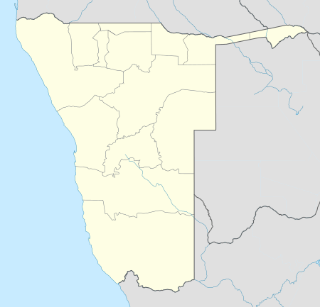 FYLZ Location in Namibia | |||||||||||||||
| Runways | |||||||||||||||
| |||||||||||||||
| Statistics (2006) | |||||||||||||||
| |||||||||||||||
Airlines and destinations
| Airlines | Destinations |
|---|---|
| Air Namibia | Oranjemund, Windhoek–Eros |
gollark: To what?
gollark: We don't really *store* bees for use, as much as just write their pattern directly into the universe as needed.
gollark: Andrew is just overselling ATech™ a lot.
gollark: Those don't actually work.
gollark: It's mostly obsolete now.
References
- Namibia Airports Co.
- Airport information for FYLZ from DAFIF (effective October 2006)
- Airport information for LUD at Great Circle Mapper.
- "Distance from Lüderitz to airport". WikiMapia. Retrieved 18 Feb 2010.
External links
- Current weather for Luderitz / Diaz Point, Namibia (FYLZ) at NOAA/NWS
- OurAirports - Luderitz
- OpenStreetMap - Luderitz
This article is issued from Wikipedia. The text is licensed under Creative Commons - Attribution - Sharealike. Additional terms may apply for the media files.