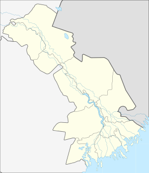
Kulpa, Astrakhan Oblast
Kulpa (Russian: Кульпа) is a rural locality (a settlement) in Biryukovsky Selsoviet, Privolzhsky District, Astrakhan Oblast, Russia. The population was 149 as of 2010.[2] There are 3 streets.
Kulpa Кульпа | |
|---|---|
Settlement | |
 Kulpa  Kulpa | |
| Coordinates: 46°17′N 48°20′E[1] | |
| Country | Russia |
| Region | Astrakhan Oblast |
| District | Privolzhsky District |
| Time zone | UTC+4:00 |
Geography
It is located 9 km south-east from Nachalovo.
gollark: Just use bytes.
gollark: Due to new post-quantum cryptography schemes.
gollark: .
gollark: 128 kilobytes
gollark: You know what would be good and not bad? Combat programming, meaning combat done via writing code very fast.
References
- Карта поселка Кульпа в Астраханской области
- "Всероссийская перепись населения 2010 года. 1. Численность и размещение населения Астраханской области". Archived from the original (PDF) on 2015-05-11. Retrieved 2019-03-25.
This article is issued from Wikipedia. The text is licensed under Creative Commons - Attribution - Sharealike. Additional terms may apply for the media files.