Kondurg
Kondurg is a Village and Mandal headquarters in Ranga Reddy district, Telangana.[1]
Kondurg | |
|---|---|
Village and Mandal | |
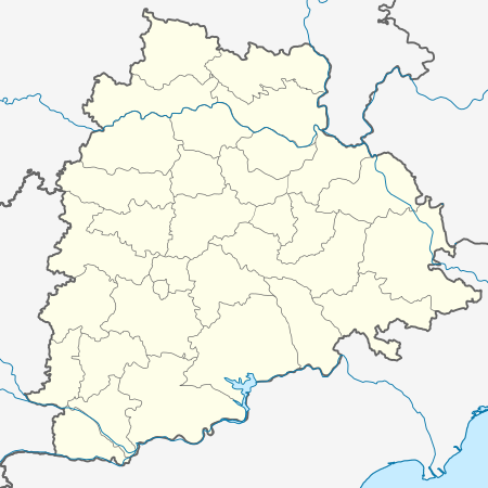 Kondurg Location in Telangana, India  Kondurg Kondurg (India) | |
| Coordinates: 17.0992°N 78.0369°E | |
| Country | |
| State | Telangana |
| District | Ranga Reddy district |
| Elevation | 639 m (2,096 ft) |
| Population (2001) | |
| • Total | 6,176 |
| Languages | |
| • Official | Telugu |
| Time zone | UTC+5:30 (IST) |
| Telephone code | 08548 |
| Vehicle registration | TS-22 |
| Nearest city | Shadnagar |
| Lok Sabha constituency | Mahabubnagar |
| Vidhan Sabha constituency | Shadnagar |
| Climate | hot (Köppen) |
| Website | telangana |
Geography
Kondurg is located at 17.0992°N 78.0369°E.[2] It has an average elevation of 639 metres (2099 ft).
Demographics
According to Indian census, 2001, the demographic details of Kondurg mandal is as follows:[3]
- Total Population: 54,899 in 10,739 Households.
- Male Population: 27,793 and Female Population: 27,106
- Children Under 6-years of age: 8,888 (Boys - 4,578 and Girls - 4,310)
- Total Literates: 19,261
Kondurg village has a population of 1,925 (East) and 4,251 (West) in 2001.
Panchayats
There are 28 Gram panchayats in the Mandal.[4]
- Agiryal
- Chegireddi Ghanapuram
- Cherukupalle
- Chinna Elikicherla
- Edira
- Galigudem
- Gunjalpad
- Gurrampalle
- Indranagar
- Jakaram
- Jilled
- Kondurg(West)
- Mahadevpoor
- Mutpoor
- Padmaram
- Parvathpur
- Pedda Elikicherla
- Raviryal
- Regadi Chilakamarri
- Srirangapur
- Tangellapalle
- Tekulapalle
- Thoompalle
- Tummalapalle
- Ummethyal Lalapet
- Uttraspally
- Veerannapet
- Venkiryal
- Viswanathpur
gollark: I mean, it sort of has "one way" a lot, but it's a really bad way.
gollark: Unless it doesn't.
gollark: (by word count)
gollark: It actually has a more complex spec than XML!
gollark: Did you know YAML has nine ways to do multiline strings?
References
External links
This article is issued from Wikipedia. The text is licensed under Creative Commons - Attribution - Sharealike. Additional terms may apply for the media files.