Kochkovatka
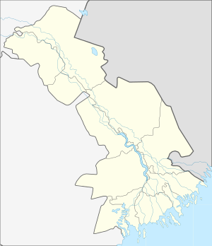
Kochkovatka (Russian: Кочковатка) is a rural locality (a selo) and the administrative center of Kochkovatsky Selsoviet, Kharabalinsky District, Astrakhan Oblast, Russia. The population was 1,597 as of 2010.[2] There are 20 streets.
Kochkovatka Кочковатка | |
|---|---|
Selo | |
 Kochkovatka  Kochkovatka | |
| Coordinates: 47°32′N 47°02′E[1] | |
| Country | Russia |
| Region | Astrakhan Oblast |
| District | Kharabalinsky District |
| Time zone | UTC+4:00 |
Geography
It is located 22 km north-west from Kharabali.
gollark: Also, you don't need the `if h then` bit, because it'll just return early if `h` doesn't exist, see?
gollark: If you're okay with hardcoding the time/date you're waiting for, you can generate the Unix timestamp for it with another thing and just get the difference between that and `os.epoch "utc"`.
gollark: It needs to be pastebin.com/**raw**/whatever.
gollark: You can get the time/date in UTC and localtime with `os.date` or something, and Unix time, but I don't think there's a way to parse dates.
gollark: The rest of `pastebin` is mostly just argument parsing. Well, and handling other stuff like `put` and `run`.
References
- Карта села Кочковатка в Астраханской области
- "Всероссийская перепись населения 2010 года. 1. Численность и размещение населения Астраханской области". Archived from the original (PDF) on 2015-05-11. Retrieved 2019-03-26.
This article is issued from Wikipedia. The text is licensed under Creative Commons - Attribution - Sharealike. Additional terms may apply for the media files.