Knocksedan, Swords
Knocksedan (from Irish: Cnoc Siáin, meaning "Hill of the Fairy Mound") is a rural townland near the town of Swords in Ireland. It is situated along the Naul Road (R108) to the west of Swords on either side of the Ward River.
Knocksedan Cnoc Siáin[1] | |
|---|---|
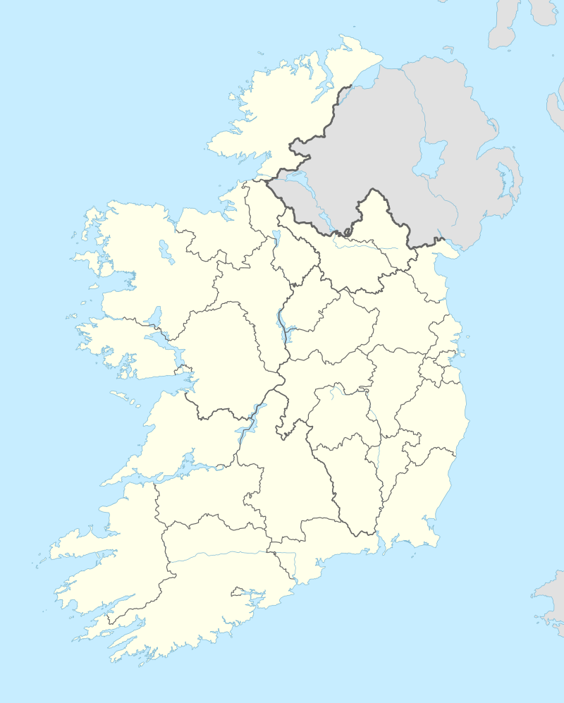 Knocksedan Location in Ireland | |
| Coordinates: 53°27′22″N 6°15′42″W | |
| Country | Ireland |
| Province | Leinster |
| Region | Dublin |
| County | Fingal |
| Town | Swords |
| Government | |
| • Dáil Éireann | Dublin North |
| • EU Parliament | Dublin |
| Time zone | UTC+0 (WET) |
| • Summer (DST) | UTC-1 (IST (WEST)) |
| Area code(s) | +353 (0)1 |
| Irish Grid Reference | O 152 460 |
Housing Estate
.jpg)
Knocksedan Demesne is a quiet housing estate on the east side of the Naul Road. It is on its own and is isolated from the main town of Swords. It contains 163 houses, but no shops or community facilities. in January 2017, the 41X Dublin Bus Route began a service from Knocksedan after campaigning from the residents[2], a localink bus provided by Flexibus Local Link serves the estate between Knocksedan and Swords Pavilions, however this stops at 7pm every night and does not run on Sundays. There are no good paths into the town. [3][4]
The streets in the estate are:
- Knocksedan Drive
- Knocksedan Wood
- Old Fort Wood
- Knockmary Crescent
- Boltan Green
- Manders Crescent
- Moat Lane
- Old Brazil Way
- Molesworth Close
- Usher Lane
A second phase of Knocksedan Demesne is currently under construction, planning permission has been granted for 191 four and five bedroom houses.[5] This development will also include a creche. Construction of the second phase of Knocksedan Demesne began in July 2014. [6]
Heliport
Knocksedan Heliport is located on the west side on the Naul Road. It is run by Celtic Helicopters. Celtic Helicopters were founded in 1985 and their helicopters have carried Nelson Mandela and have flown alongside Air Force One. Their heliport in Knocksedan has four hangars and they provide a helicopter wash facility and Jet A1 Fuel.[7] Irish Helicopters also use the heliport. They provide Aerial Crane, Aerial Filming, Aerial Survey, Helicopter Charter, Helicopter Maintenance, Power Line Survey, Spraying and Special Project services.[8]
Park
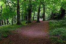
The Ward River Valley Park is a large linear park on the banks of the Ward River. It covers an area of 89 ha. (220 acres) between Swords Town Centre and Knocksedan Bridge. Features of interest include some 12th-century fortifications, including a Motte and Bailey, woodland habitats, wetlands and rolling grassland. There are viewing points, picnic sites, sports pitches and tennis courts.[9] The Knocksedan end of the park is currently underdeveloped, phase 2 of the Knocksedan Demesne Housing Estate includes developing this end of the park into Open Space.
References
- Knocksedan
- Residents Of Knocksedan Appeal To Dublin Bus
- Knocksedan Phase 1 Planning Application
- Knocksedan Demesne (North Dublin) askaboutmoney
- Knocksedan Phase 2 Planning Application
- Big homes for Swords Irish Independent
- Celtic Helicopters Knocksedan Heliport
- Irish Helicopters Knocksedan Heliport
- Ward River Valley Park