Kimberley, Tasmania
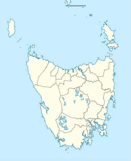
Kimberley is a district in the Meander Valley Council Local Government Area in the North-West of Tasmania about midway between the towns of Sheffield and Deloraine. Once a thriving village with a school, railway station, shops and two churches, and is now a collection of houses with one church (St Michael and All Angels Anglican Church) remaining.
| Kimberley Tasmania | |
|---|---|
 Kimberley | |
| Coordinates | 41.400°S 146.493°E |
| Population | 149 (2016 census)[1] |
| Postcode(s) | 7304 |
| LGA(s) | Meander Valley Council |
| Federal Division(s) | Lyons |
There are plans to plant trees and a walkway leading to the Kimberley Warm Springs that's located within the town. There are clear springs running all year in the area. The White Rock Vineyard is close to the township. There is also an olive grove. The area is known for its dairy farms, beef breeding and fattening, prime lamb production, some cropping and irrigation.
One of the attractions of the area is the Kimberley Warm Springs.
Kimberley is the site of the Dasher River Conservation Area.[2]
Notable people
Former Papua New Guinean politician Barry Holloway was born and buried at Kimberley.
References
- Australian Bureau of Statistics (27 June 2017). "Kimberley (Tas) (State Suburb)". 2016 Census QuickStats. Retrieved 19 March 2018.

- "Dasher River Conservation Area (Place ID 102476)". Australian Heritage Database. Department of the Environment.