Khamaungtaw
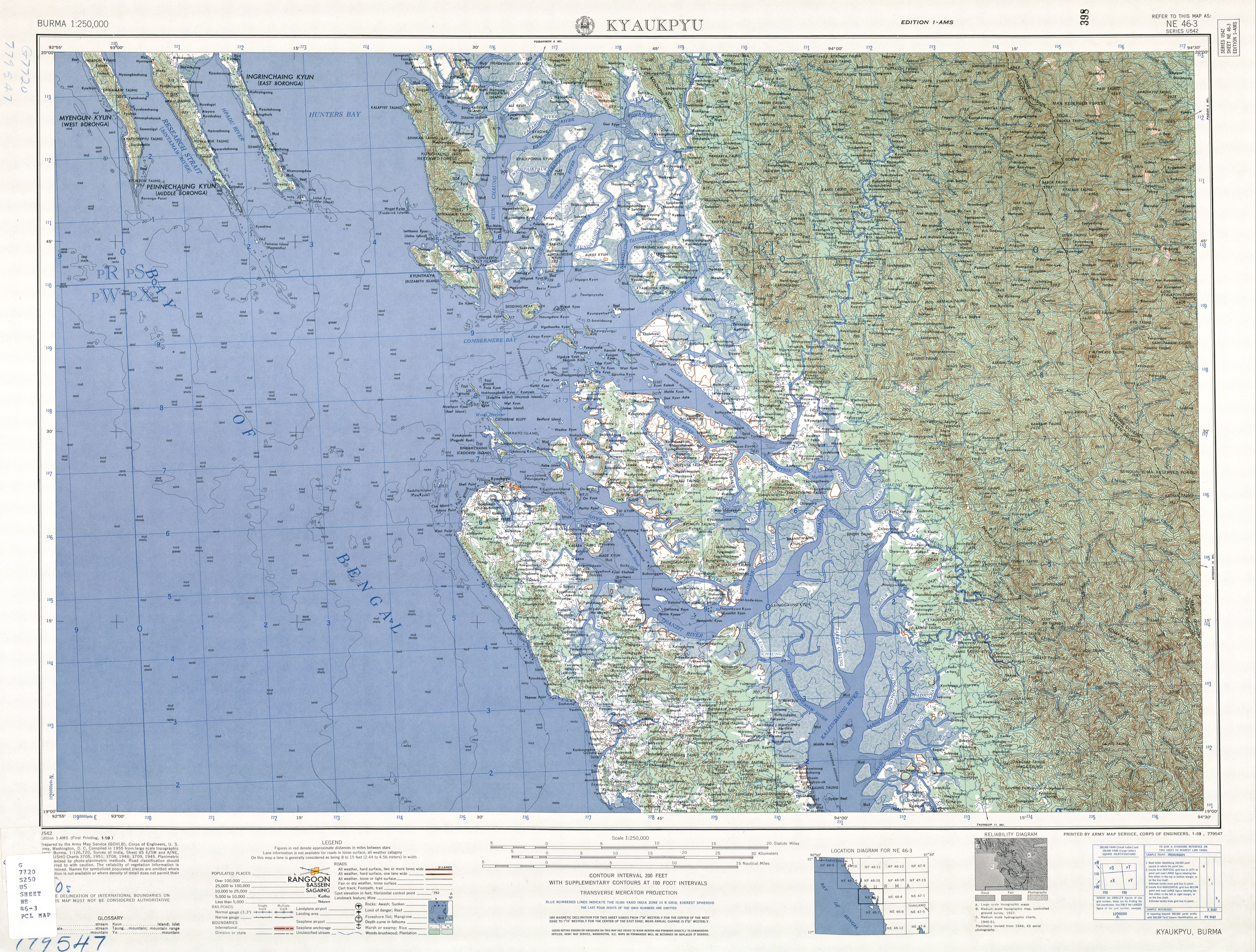
Khamaungtaw[1] is a village in Ann Township, Kyaukpyu District, in northern Rakhine State in the westernmost part of Burma (Myanmar). It is northwest of Ann on the Ann - Minbya highway.[2] Khamaungtaw is southeast of Dalet.[3]
Khamaungtaw | |
|---|---|
 Khamaungtaw Location in Burma | |
| Coordinates: 19°56′N 93°48′E | |
| Country | |
| Division | Rakhine State |
| District | Kyaukpyu |
| Township | Ann Township |
| Time zone | UTC+6:30 (MST) |
Notes
- "Khamaungtaw (Approved)" Khamaungtaw at GEOnet Names Server, United States National Geospatial-Intelligence Agency
- "Map of Rakhine State" Archived 2011-04-27 at the Wayback Machine Myanmar's Net
- Burma 1:250,000 topographic map, Series U542, NE 46-3 Kyaukpyu U.S. Army Map Service, January 1959
gollark: oh bees oh bees my JS project from 8 months ago won't compile with 12897187461872 errors.
gollark: What language *is* this?
gollark: --random 3d6
gollark: ```python>>> for x in cast(id(False), POINTER(c_byte * sys.getsizeof(False))).contents: print(x, end=" ")-86 0 0 0 0 0 0 0 -32 -63 44 -117 69 127 0 0 0 0 0 0 0 0 0 0```Fascinating.
gollark: I assume it's already been used there, or at least a similar thing.
External links
Capital: Ann | |
|
This article is issued from Wikipedia. The text is licensed under Creative Commons - Attribution - Sharealike. Additional terms may apply for the media files.