Keroun, Kanepokhari
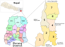
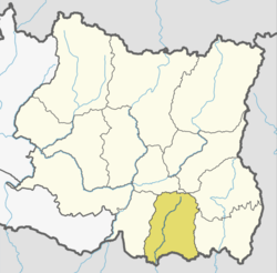
Keroun Bazar is a village in Ward 2 of the Kanepokhari Rural Municipality of the Morang District in Province No. 1 of south-eastern Nepal. Keroun was formerly a Village development committee (VDC), but was incorporated into Kanepokhari when that rural municipality was created in 2017.
Keroun केरावन | |
|---|---|
Village | |
 Kanepokhari. Keroun is in Ward 2 | |
| Coordinates: 26.573065°N 87.497043°E | |
| Country | |
| Province | Province No. 1 |
| District | Morang District |
| Gaunpalika | Kanepokhari |
| Population (1991) | |
| • Total | 10,802 |
| Time zone | UTC+5:45 (Nepal Time) |
Location
The Keroun VDC was in Nepal, Eastern Region, Kosī Zone, Morang. It is at an elevation of about 105 metres (344 ft).[1] Google Maps shows Keroun Bazar on the Kanepokhari-Rangeli road to the north of Daleli and the south of Ramailo.[2]
gollark: On a sensible OS it's not needed.
gollark: Not really.
gollark: I have to reboot for *kernel* updates if I want the update, but that's not actually strictly *needed*.
gollark: It's not "unhealthy" on sensible OSes.
gollark: On Windows, yes.
References
- "Keroun", GeoNames, retrieved 2020-06-13
- "Keroun Bazar", Google Maps, retrieved 2020-06-13
This article is issued from Wikipedia. The text is licensed under Creative Commons - Attribution - Sharealike. Additional terms may apply for the media files.
